


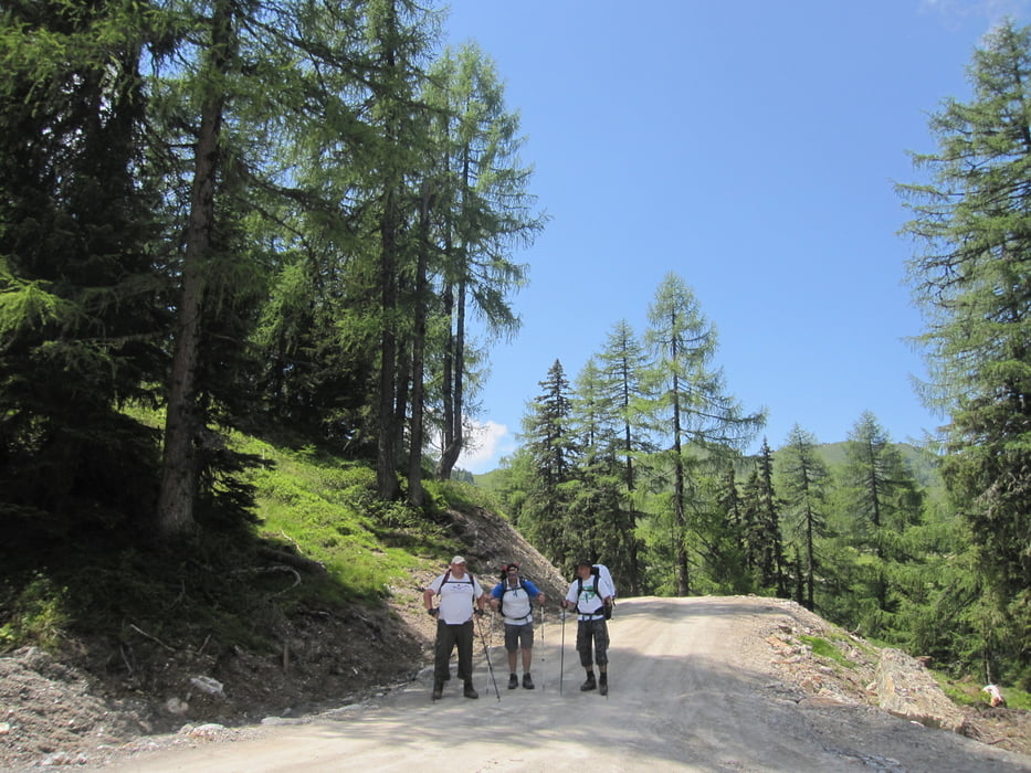
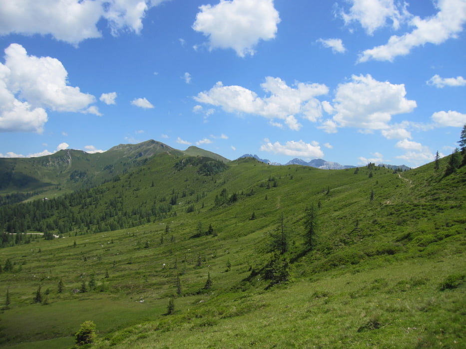
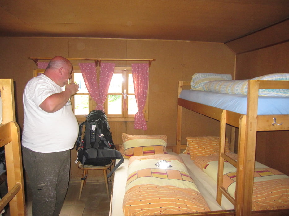
So, Tag 4 von HWW 2011. Nach dem Frühstück auf der Unterwandalm ging es über Karseggalm (nein, diesmal kein Bier) und Großwildalm in Richtung Ellmaualm. Superschöne Wanderung auf den Bergkämmen und nicht zu schwer. Übernachtung auf der Ellmaualm mit Kassler, Kartoffeln und Kraut. Nichts dort vergessen. Resi schmeißt nach 2 Monaten alles weg (meine schöne Kappe vom letzten Jahr!!!)
Further information at
http://www.grossarltal.infoTour gallery

Tour map and elevation profile
Minimum height 1526 m
Maximum height 1912 m
More about the tour author
|
|
Lippo |
Comments

siehe HWW 2011 Tag 3
GPS tracks
Trackpoints-
GPX / Garmin Map Source (gpx) download
-
TCX / Garmin Training Center® (tcx) download
-
CRS / Garmin Training Center® (crs) download
-
Google Earth (kml) download
-
G7ToWin (g7t) download
-
TTQV (trk) download
-
Overlay (ovl) download
-
Fugawi (txt) download
-
Kompass (DAV) Track (tk) download
-
Track data sheet (pdf) download
-
Original file of the author (gpx) download
More about the tour author
|
|
Lippo |
Add to my favorites
Remove from my favorites
Edit tags
Open track
My score
Rate