


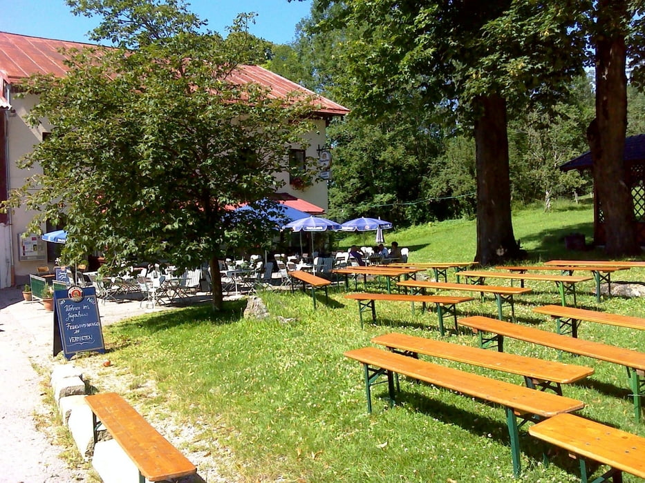
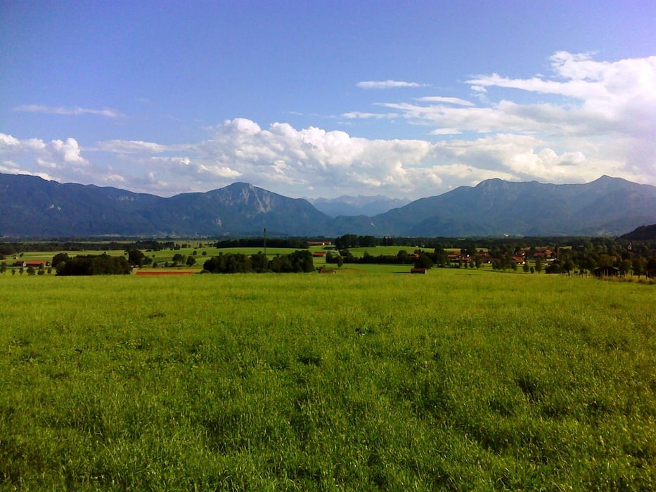
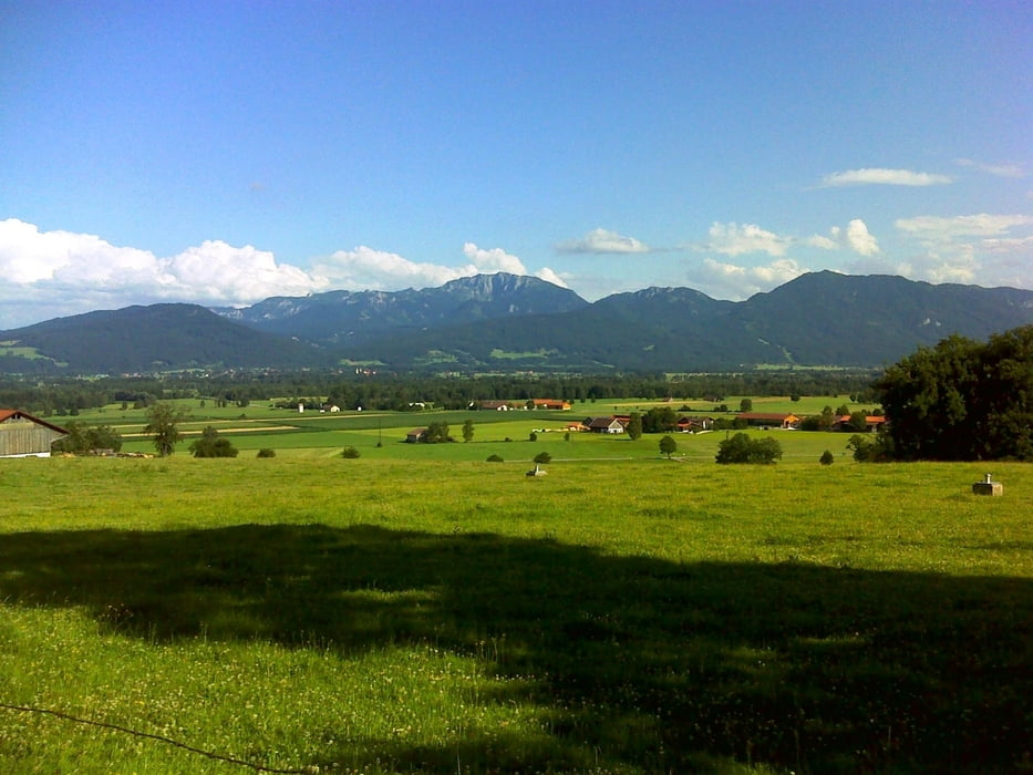
Von Penzberg durch den Nonnenwald zum Gut Faistenberg, dann durch die Wälder erst rechts, dann links der Autobahn nach Attenkam oberhalb des Ostufers des Starnberger Sees Es geht zurück durch die Wälder nach St. Heinrich am Südende des Starnberger Sees. Auf kleinem Pfad am Gartensee und Lustsee zur Schloßgaststätte Hohenberg (bei ca. km 43) (Einkehr, wenn man will). Dann an verschiedenen Weihern entlang durch Wald und Wiesen nach Habach, dann über Baumberg - rund 100 m Anstieg zur Höhlmühle. Weiter von da mit ein bißchen auf und ab Richtung Sindelsdorf und von dort über Riedern zurück nach Penzberg.
Tour gallery
Tour map and elevation profile
Minimum height 562 m
Maximum height 748 m
More about the tour author
|
|
JoHoe |
Comments

GPS tracks
Trackpoints-
GPX / Garmin Map Source (gpx) download
-
TCX / Garmin Training Center® (tcx) download
-
CRS / Garmin Training Center® (crs) download
-
Google Earth (kml) download
-
G7ToWin (g7t) download
-
TTQV (trk) download
-
Overlay (ovl) download
-
Fugawi (txt) download
-
Kompass (DAV) Track (tk) download
-
Track data sheet (pdf) download
-
Original file of the author (gpx) download
More about the tour author
|
|
JoHoe |
Add to my favorites
Remove from my favorites
Edit tags
Open track
My score
Rate