
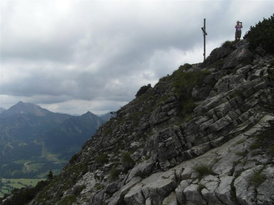

Schöne Bergtour auf den freistehenden "Einstein" im Thannheimer Tal.
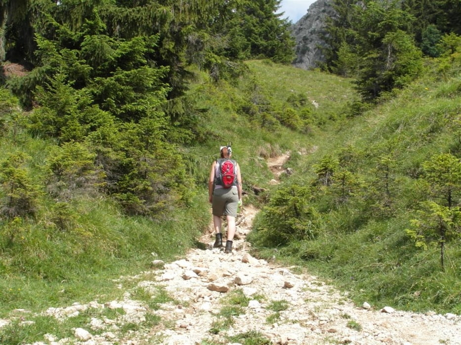
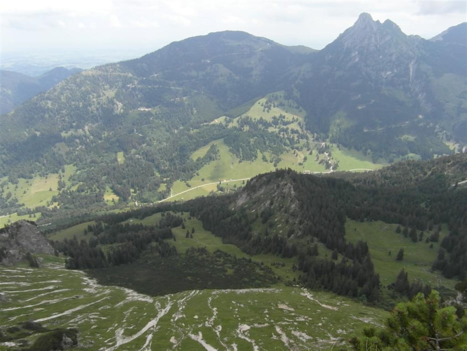
Nach kurzem Asphaltstück beginnt der schottrige Pfad zum Berg. Nach einem etwas steilern Stück erreicht man den Gipfelgrad, und alsbald den Gipfel selbst. Hier hat man einen tollen Rundumblick, der sich wirklich lohnt! Trittsicherheit ist wichtig, aber keine Angst - im Prinzip ist es eine schöne Bergwanderung, ohne technische Anforderungen.
Zurück auf der selben Strecke...
Tour gallery

Tour map and elevation profile
Minimum height 1086 m
Maximum height 1862 m
More about the tour author
|
|
Chorge |
Comments

Parken direkt an der Bundesstraße bei Thannheim möglich...
GPS tracks
Trackpoints-
GPX / Garmin Map Source (gpx) download
-
TCX / Garmin Training Center® (tcx) download
-
CRS / Garmin Training Center® (crs) download
-
Google Earth (kml) download
-
G7ToWin (g7t) download
-
TTQV (trk) download
-
Overlay (ovl) download
-
Fugawi (txt) download
-
Kompass (DAV) Track (tk) download
-
Track data sheet (pdf) download
-
Original file of the author (gpx) download
More about the tour author
|
|
Chorge |
Add to my favorites
Remove from my favorites
Edit tags
Open track
My score
Rate