


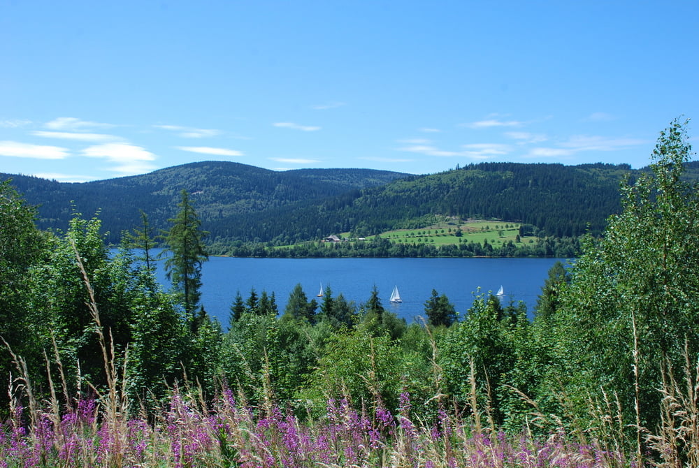
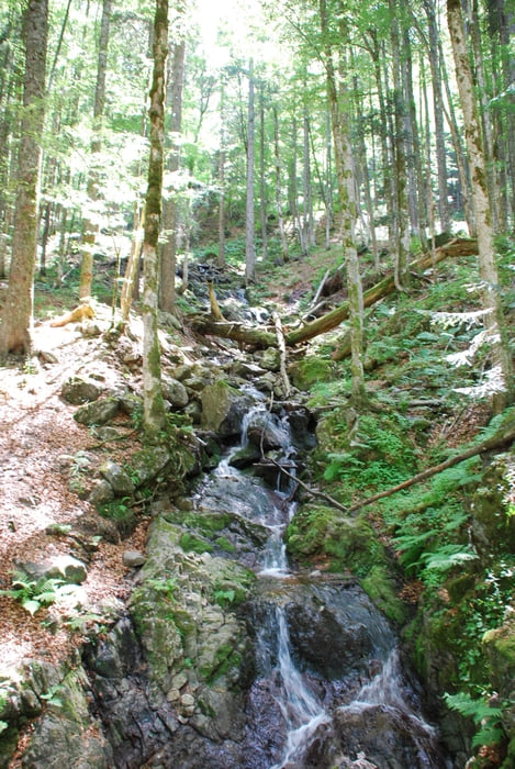
Die Tour beginnt am Campingplatz in Freiburg (Camping Hirzberg) entlang an dem Flüsschen Dreisam nach Kirchzarten. Ein kurzes Stück auf dem Radweg entlang der B31 nach Falkenstein. Ab hier beginnt der Spaß auf einer Länge von 10 km mit einer Steigung von 6-11%. Danach gehts nach Hinterzarten direkt zum Ufer vom Titisee. Hier noch kurz Pause machen zur Staigerhöhe max. Steigung 18% der Weg ist super ausgebaut. Nach der Überquerung der B315 und der K4991 geht es über ein kleines Stück fester Wiesenweg direkt nach Falkau und zum Windgfäll Weiher. Entlang am 3-Seen Radweg gehts zum Schluchsee bis zur Staumauer. Von hier aus beginnt der Rückweg nach Freiburg am Feldberg vorbei. In der Nähe vom Feld-See kann man Rast am Raimartihof machen. Ab Rinken gehts dann nur nach abwärts :)
Tour gallery

Tour map and elevation profile
Minimum height 291 m
Maximum height 1223 m
More about the tour author

|
sorch091081 |
Comments

GPS tracks
Trackpoints-
GPX / Garmin Map Source (gpx) download
-
TCX / Garmin Training Center® (tcx) download
-
CRS / Garmin Training Center® (crs) download
-
Google Earth (kml) download
-
G7ToWin (g7t) download
-
TTQV (trk) download
-
Overlay (ovl) download
-
Fugawi (txt) download
-
Kompass (DAV) Track (tk) download
-
Track data sheet (pdf) download
-
Original file of the author (gpx) download
More about the tour author
|
|
sorch091081 |
Add to my favorites
Remove from my favorites
Edit tags
Open track
My score
Rate