


Eine einfache, kurze (Sonntags-)Tour auf den Monte Pana mit einem vorhergehenden Abstecher nach Insom.
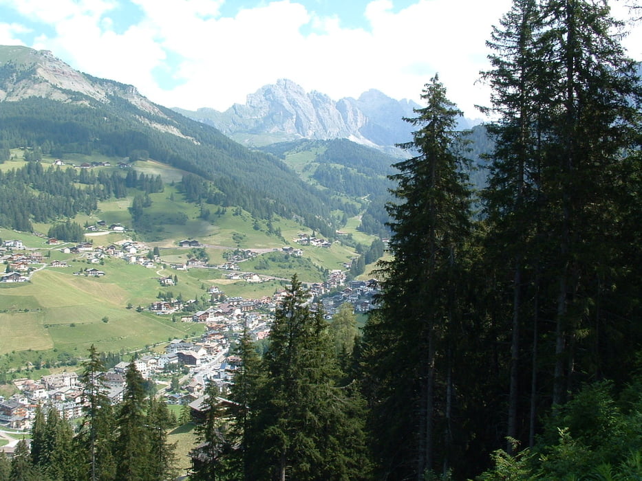
Ich fahre von Wolkenstein über das alte Bahntrassee bis zur Talstation der Col Raiser Bahn und weiter hoch bis zum Tunnel der links abgeht Richtung Insom. Dort wähle ich den direkten Weg hinunter nach St. Christina und bis ins Zielgelände der Weltcup Ski Abfahrt und weiter bis zur Talstation des Monte Pana Sesselliftes.
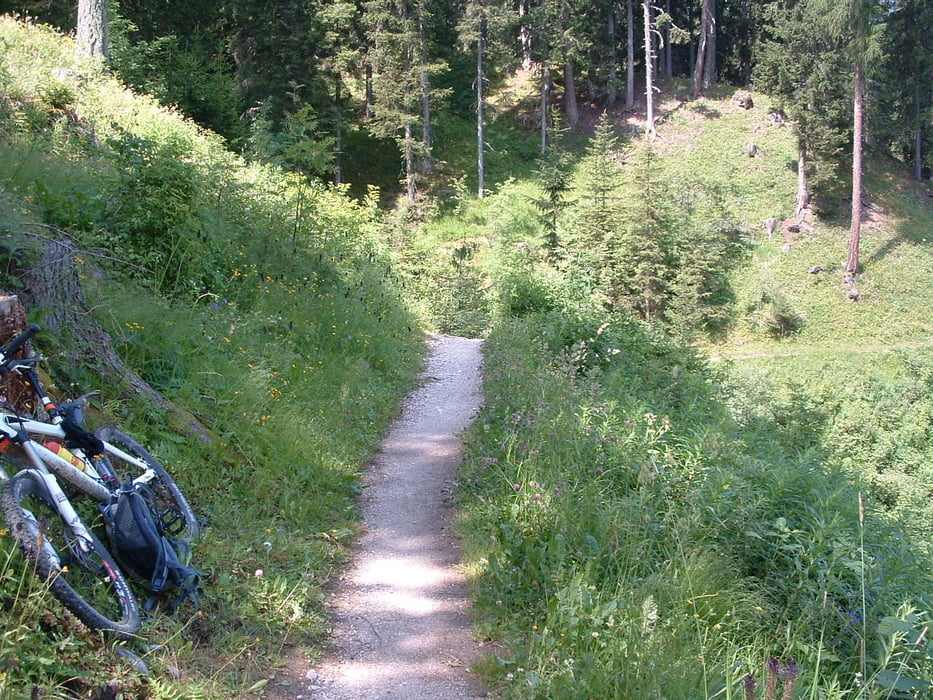
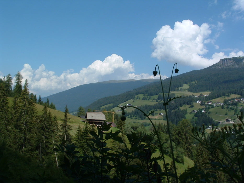
Dort steigt die Strasse recht angenehm an und führt hoch bis zum Monte Pana. Dort fahre ich sogleich wieder, diesmal auf dem Trial links der Strasse hinunter bis Prensa und dort einen tollen Trail Richtung Ciaslat. Dort kreuze ich noch einmal die Weltcup Ski Abfahrt und staune, wie steil das Gelände in Wirklichkeit ist (sieht im Fernseher nie und nimmer so steil aus!).
Weiter gehts, der Strasse entlang über La Selva wieder hinunter nach Wolkenstein.
Further information at
http://www.valgardena.itTour gallery

Tour map and elevation profile
Minimum height 1408 m
Maximum height 1632 m
More about the tour author
|
|
uphillmarc |
Comments

Ab Brenner-Autobahn Ausfahrt Klausen-Gröden Richtung Val Gardena bis Wolkenstein.
GPS tracks
Trackpoints-
GPX / Garmin Map Source (gpx) download
-
TCX / Garmin Training Center® (tcx) download
-
CRS / Garmin Training Center® (crs) download
-
Google Earth (kml) download
-
G7ToWin (g7t) download
-
TTQV (trk) download
-
Overlay (ovl) download
-
Fugawi (txt) download
-
Kompass (DAV) Track (tk) download
-
Track data sheet (pdf) download
-
Original file of the author (gpx) download
More about the tour author
|
|
uphillmarc |
Add to my favorites
Remove from my favorites
Edit tags
Open track
My score
Rate