

Startpunk Söller ein kleiner Naturflughafen zur Zeit ohne Gastronomie.
Mitte auf einer sehr sonnigen Anhöhe.
Samstag und Sonntag kann man bei gutem Wetter Rundflüge buchen.
Die Anfahrt erfolgt dem Treck folgend von Bundentahl aus. Die Betonpiste wird am Schluß ein Feldweg.
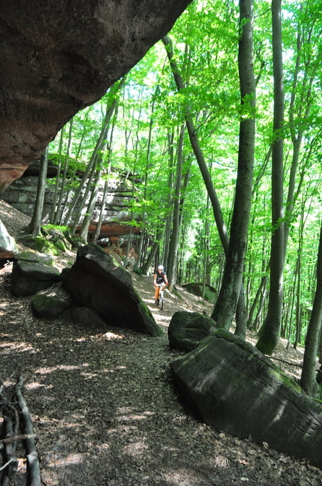
Die Tour geht am Anfang über Radwege nach Dahn, ändert sich im Wald und enthält schöne flowige Trails S0
Wieder neu eröffnet "Auf dem Söller". 20.4.2015 Es liegt neben einem Flugplatz und man sitzt herrlich in der Natur und Sonne.
Einkehrmöglichkeit :Dahner Hütte
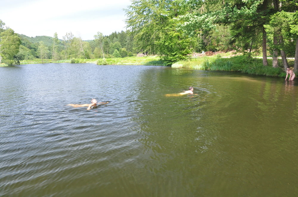
Bademöglichkeit: kurz vor Fischbach
Viel Spaß
James
Tour gallery
Tour map and elevation profile
Minimum height 202 m
Maximum height 464 m
More about the tour author
|
|
chorn63 |
Comments

GPS tracks
Trackpoints-
GPX / Garmin Map Source (gpx) download
-
TCX / Garmin Training Center® (tcx) download
-
CRS / Garmin Training Center® (crs) download
-
Google Earth (kml) download
-
G7ToWin (g7t) download
-
TTQV (trk) download
-
Overlay (ovl) download
-
Fugawi (txt) download
-
Kompass (DAV) Track (tk) download
-
Track data sheet (pdf) download
-
Original file of the author (gpx) download
More about the tour author
|
|
chorn63 |
Add to my favorites
Remove from my favorites
Edit tags
Open track
My score
Rate