


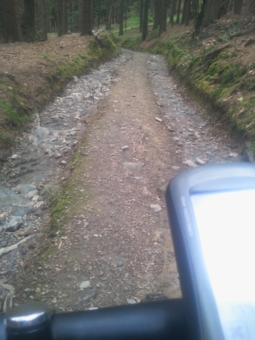
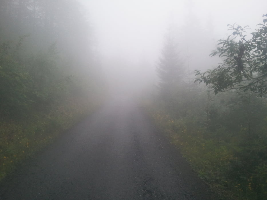
Und hier meine letzte Urlaubsrunde, die man eigentlich Nachmittags schaffen sollte. Ich musste leider in Spidler Mühle abbrechen weil das Wetter nicht so mitspielte. Aber von Anfang an. Da ich mich jetzt schon etwas hier auskenne habe ich ein paar schöne Wege, mit ganz wenig Teeranteil ausgesucht. Los gings in Oberrochlitz leicht Bergan dann wieder ab und auf bis nach Rezek (Aussichtspunkt mit zwei schönen Gaststätten). Ab hier eine schöne Abfahrt bis zu einer Straße und darauf folgend ein längerer Anstieg bis auf den Kamm nach Spindler Mühle, die Abfahrt in den Ort ist etwas verblockt man kann es aber fahren. So ab hier könnte man die Tour erweitern oder einkehren oder wie ich wieder zurück. Es geht natürichlich aufwärts bis nach Misecky und ab hier folgt ein schöner (verbotener) Trail, wo man das Bike auch ab und zu tragen muss (so 200m), bis zur Dvoracky Boude mit einem herrlichen Ausblick über die Täler. Nun folgt noch die Abfahrt nach Rochlitz und die Runde schließt sich.
Tour gallery

Tour map and elevation profile
Minimum height 576 m
Maximum height 1217 m
More about the tour author
|
|
titanbiker |
Comments

GPS tracks
Trackpoints-
GPX / Garmin Map Source (gpx) download
-
TCX / Garmin Training Center® (tcx) download
-
CRS / Garmin Training Center® (crs) download
-
Google Earth (kml) download
-
G7ToWin (g7t) download
-
TTQV (trk) download
-
Overlay (ovl) download
-
Fugawi (txt) download
-
Kompass (DAV) Track (tk) download
-
Track data sheet (pdf) download
-
Original file of the author (gpx) download
More about the tour author
|
|
titanbiker |
Add to my favorites
Remove from my favorites
Edit tags
Open track
My score
Rate