


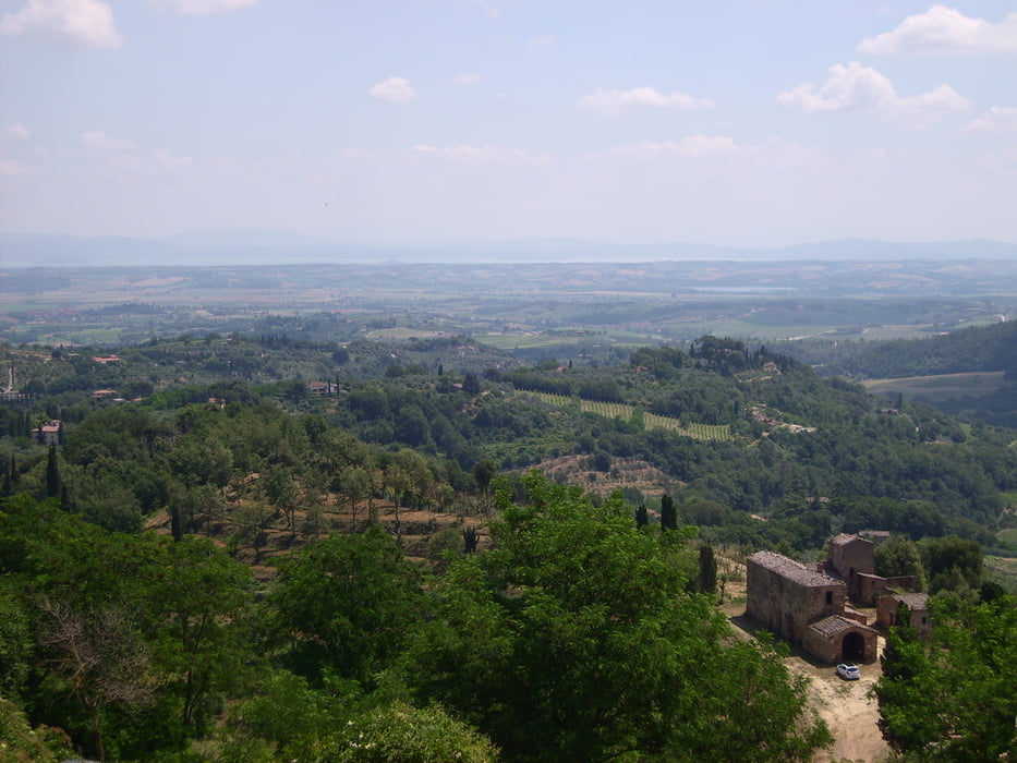
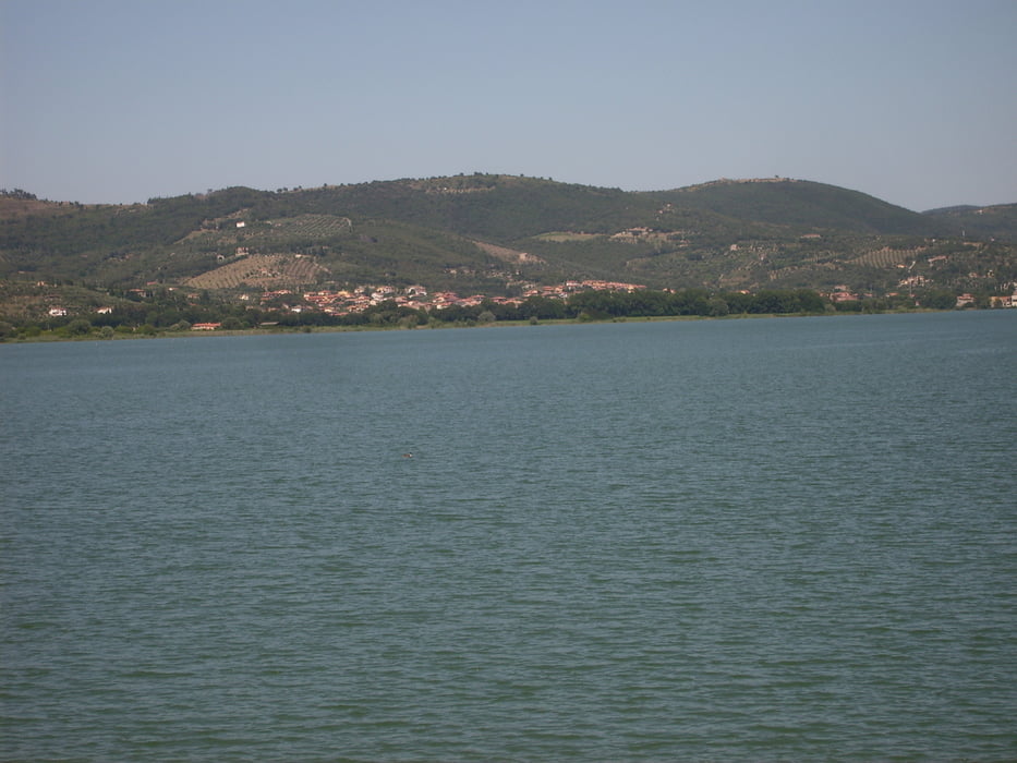
Wieder geht es los im Tal des Niccone, zum Warmwerden erstmal entlang des Tales in Richtung Umbertide um dann nach rechts in ein kleines Seitental abzubiegen.Umnerklich steigt die Straße an, bis nach einem kurzen Stutzen es links in Richtung Castel Rigone hochgeht. Kurz vor Erreichen des Ortes biegen wir aber rechts ab und dann folgt eine lange, kurvenreiche Abfahrt hinunter zum Lago Trasimeno. Danach geht es mehr oder weniger entlang des Sees bis wir in Tuoro angelangen, wo es etwa 300 Höhemeter hochgeht. Die Steigung ist aber "pedabile" und man hat immer wieder in den Kehren einen schönen Blick auf den See. Danach folgt eine Abfahrt auf relativ gutem Asphalt hinunter ins Tal des Niccone. In Lisciano Niccone angekommen folgen wir aber nochmals der Richtung Castel Rigone und nehmen nochmals etwa 200 Höhenmeter mit, bevor wir in San Martino links abbiegen und über eine kleine Seitenstraße zum Ausgangspunkt zurückkehren.
Tour gallery
Tour map and elevation profile
Minimum height 266 m
Maximum height 603 m
More about the tour author
|
|
herbertlasch |
Comments

GPS tracks
Trackpoints-
GPX / Garmin Map Source (gpx) download
-
TCX / Garmin Training Center® (tcx) download
-
CRS / Garmin Training Center® (crs) download
-
Google Earth (kml) download
-
G7ToWin (g7t) download
-
TTQV (trk) download
-
Overlay (ovl) download
-
Fugawi (txt) download
-
Kompass (DAV) Track (tk) download
-
Track data sheet (pdf) download
-
Original file of the author (gpx) download
More about the tour author
|
|
herbertlasch |
Add to my favorites
Remove from my favorites
Edit tags
Open track
My score
Rate