Login

Forgot your login?

Cookies have to be accepted!
Your browser's cookie functionality is disabled. Please enable this functionality.

Not a member yet?

Register now
Login

Available for registred users only

Log in to use this feature.

Forgot your login?

Cookies have to be accepted!
Your browser's cookie functionality is disabled. Please enable this functionality.

Not a member yet?

Register now
Filter
Categories
Advanced filters
  • Distance (km)
  • Height
Save filters Reset filter

TrackRank

QRCode

Technical data

Distance83,3 km Height1579 m Way down1590 m Duration00:00 h:m Date21.07.2011
Scores Author Landscape Fun factor Fitness Technique

Statistics

381 Views Scores 57 Downloads Average
Rate
  • Track data sheet
  • Directions
  • Downloads

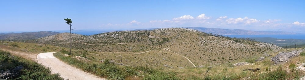
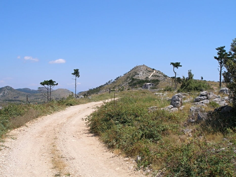
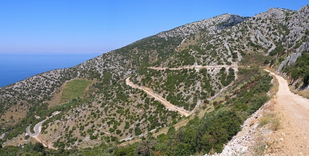
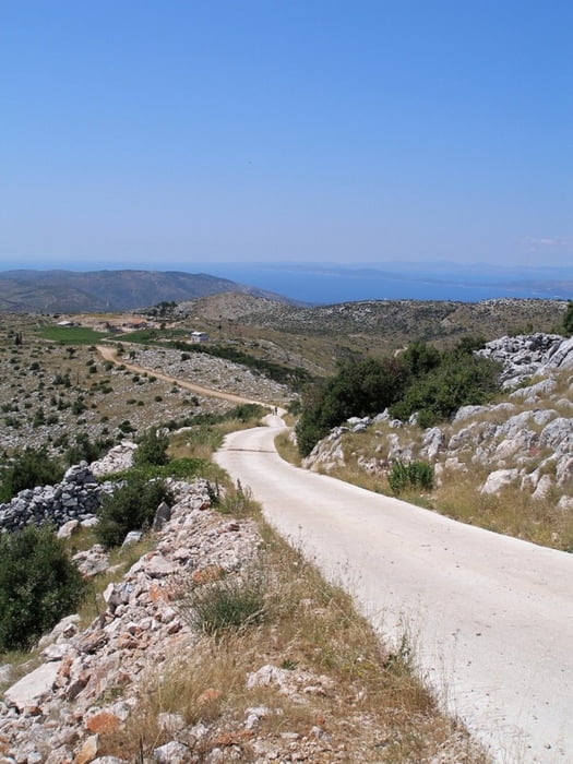
Trasa vede polovinou ostrova po kombinovaných cestách makadam/asfalt.

Pokud pojedete v létě, připravte se na úmorné vedro, hlavně při stoupání od tunelu na Nikolu.

Further information at

http://www.horskesporty.cz/hvar-horske-kola/

Tour gallery

Tour map and elevation profile

  • Open Street Map
  • Google
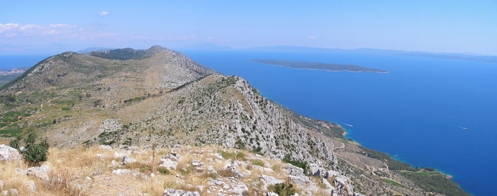
Minimum height -12 m Maximum height 631 m Detailed view

More about the tour author

Aldo
Member since 2008

Send private message

Comments

GPS tracks

Trackpoints
  • GPX / Garmin Map Source (gpx) download
  • TCX / Garmin Training Center® (tcx) download
  • CRS / Garmin Training Center® (crs) download
  • Google Earth (kml) download
  • G7ToWin (g7t) download
  • TTQV (trk) download
  • Overlay (ovl) download
  • Fugawi (txt) download
  • Kompass (DAV) Track (tk) download
  • Track data sheet (pdf) download
  • Original file of the author (gpx) download

More about the tour author

Aldo
Member since 2008

Send private message
Share track
Add to my favorites
Remove from my favorites
Edit tags
My score
Rate
Track: Sv Nikola
Type: Mountain hiking
Distance: 83,3 km
Evaluated on:
Duration:
Day(s)
Hour(s)
Minute(s)
Score: Landscape Fun factor Fitness Technique