


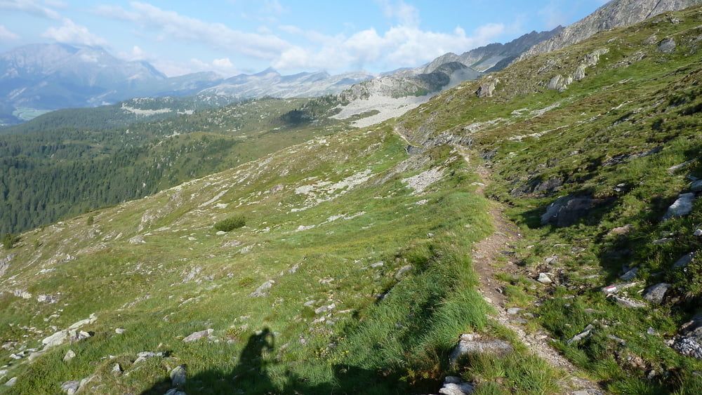
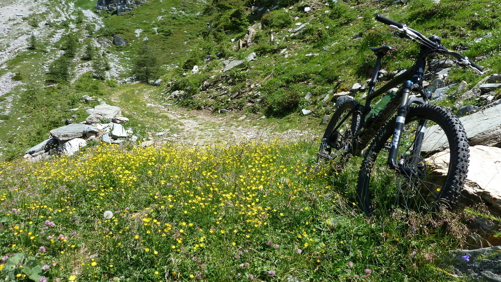
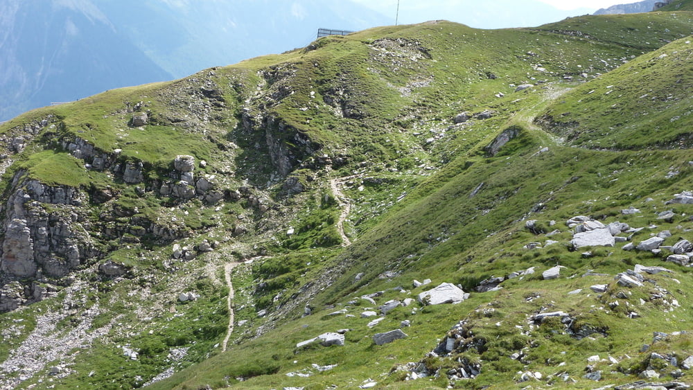
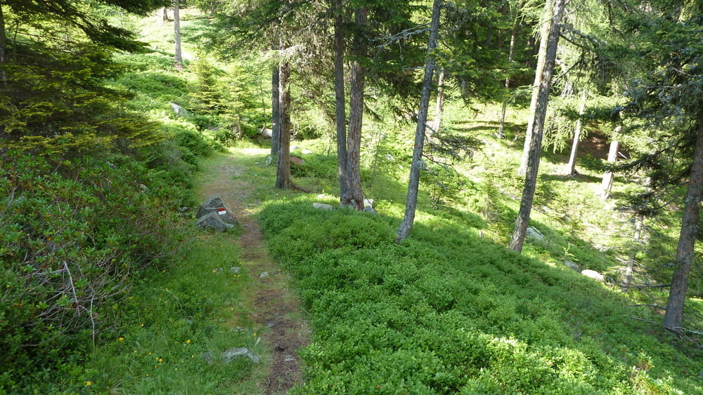
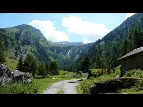
partenza da S. Giacomo nella bellissima val di Vizze, salita per la bella strada sterrata fino il passo di vizze 2.248mt, poi per il Tiroler Hoehenweg fino al rif. Europa 2.639mt (pedalabile al 70%), poi sono sceso per la invitate Venntal che però NON è adatto alle mtb (scoperto tardi) fino al Brennero 1370mt per poi risalire la bellissima strada forestale che parte dal ristorante Brenner Wolf (chiuso di martedì, il giorno del mio giro) al Flatschjoch 2395mt, poi discesa bellissima fino alla malga Grubberalm (dove finalmente ho mangiato), poi discesa eccezionale per il sentiero 5b fino Grubbe.
Tour gallery
Tour map and elevation profile
Minimum height 1373 m
Maximum height 2693 m
More about the tour author

|
Silvia_Arno |
Comments

GPS tracks
Trackpoints-
GPX / Garmin Map Source (gpx) download
-
TCX / Garmin Training Center® (tcx) download
-
CRS / Garmin Training Center® (crs) download
-
Google Earth (kml) download
-
G7ToWin (g7t) download
-
TTQV (trk) download
-
Overlay (ovl) download
-
Fugawi (txt) download
-
Kompass (DAV) Track (tk) download
-
Track data sheet (pdf) download
-
Original file of the author (gpx) download
More about the tour author
|
|
Silvia_Arno |
Add to my favorites
Remove from my favorites
Edit tags
Open track
My score
Rate