


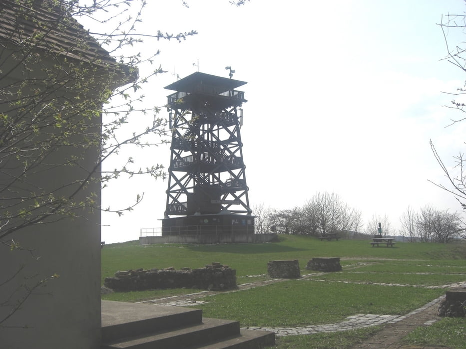
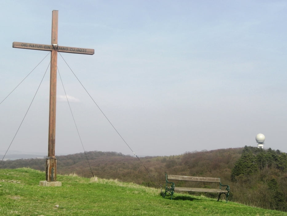
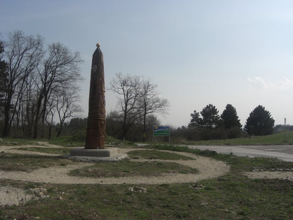
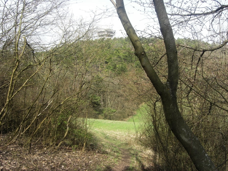
Diese MTB Runde führt dich von Ernstbrunn zum Schlosspark des Schlosses Ernstbrunn. Auf einer Teilstrecke des "Blauburges" gehts vorbei am Schüttkasten zum Oberleiserberg. Sehr schöne Ausgrabungen am Kultplatz. Weiter nach Norden in zum Zahlberg. danach links hinunter Richtung Pyhra und auf halber Strecke rechts hoch zur Buschberghütte. Weiter zum Gipfelkreuz des Buschberges. Nach herrlicher Rundumsicht folgt eine super Abfahrt durch einen Hohlweg in Richtung Niederleis. Am Ende des Weges ( Kellergasse ) liegt das Schloss Niederleis.
Nach Durchfahrt des Ortes geht es an Nodendorf vorbei über Feldwege zurück nach Ernstbrunn.
Tour gallery
Tour map and elevation profile
Minimum height 251 m
Maximum height 488 m
More about the tour author
|
|
LeiseRadler |
Comments

GPS tracks
Trackpoints-
GPX / Garmin Map Source (gpx) download
-
TCX / Garmin Training Center® (tcx) download
-
CRS / Garmin Training Center® (crs) download
-
Google Earth (kml) download
-
G7ToWin (g7t) download
-
TTQV (trk) download
-
Overlay (ovl) download
-
Fugawi (txt) download
-
Kompass (DAV) Track (tk) download
-
Track data sheet (pdf) download
-
Original file of the author (gpx) download
More about the tour author
|
|
LeiseRadler |
Add to my favorites
Remove from my favorites
Edit tags
Open track
My score
Rate