Login

Forgot your login?

Cookies have to be accepted!
Your browser's cookie functionality is disabled. Please enable this functionality.

Not a member yet?

Register now
Login

Available for registred users only

Log in to use this feature.

Forgot your login?

Cookies have to be accepted!
Your browser's cookie functionality is disabled. Please enable this functionality.

Not a member yet?

Register now
Filter
Categories
Advanced filters
  • Distance (km)
  • Height
Save filters Reset filter

TrackRank

QRCode

Technical data

Distance54,3 km Height2067 m Way down1743 m Duration05:00 h:m Date23.07.2011
Scores Author Landscape Fun factor Fitness Technique

Statistics

376 Views Scores 48 Downloads Average
Rate
  • Track data sheet
  • Directions
  • Downloads
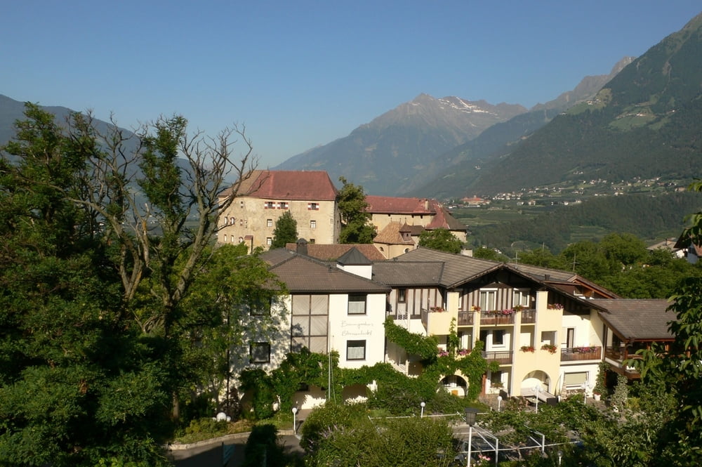
 Mit dem Start in Sinich geht es direkt zur Seilbahn nach Burgstall. Mit dieser werden die ersten 800 Höhenmeter problemlos überwunden. Danach geht es steil bergauf nach Hafling. Einige Kilometer Wurzelpfade fordern das ganze Geschick der Mountainbiker. Die Abfahrt führt über asphaltierte Wege zurück nach Schenna. 

Tour map and elevation profile

  • Open Street Map
  • Google
Minimum height 246 m Maximum height 1933 m Detailed view

More about the tour author

Ralfhettich
Member since 2011

Send private message

Comments

GPS tracks

Trackpoints
  • GPX / Garmin Map Source (gpx) download
  • TCX / Garmin Training Center® (tcx) download
  • CRS / Garmin Training Center® (crs) download
  • Google Earth (kml) download
  • G7ToWin (g7t) download
  • TTQV (trk) download
  • Overlay (ovl) download
  • Fugawi (txt) download
  • Kompass (DAV) Track (tk) download
  • Track data sheet (pdf) download
  • Original file of the author (gpx) download

More about the tour author

Ralfhettich
Member since 2011

Send private message
Share track
Add to my favorites
Remove from my favorites
Edit tags
My score
Rate
Track: Meran 2000
Type: Mountain bike
Distance: 54,3 km
Evaluated on:
Duration:
Day(s)
Hour(s)
Minute(s)
Score: Landscape Fun factor Fitness Technique