


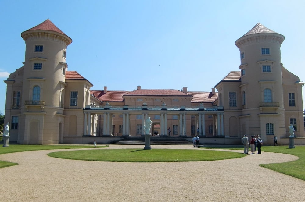
Radfernweg Tour Brandenburg. Start war Wittenberge, dann immer auf dem ausgeschilderten Radweg über Lenzen, Pritzwalk- Wittstock- Joachimsthal- Chorin- Niederfinow- Oder- Wriezen bis nach Strausberg. Wir haben uns bei der Tour, bis auf die Abstecher zu den Unterkünften, an der Ausschilderung des Fernradweges gehalten. Unter den Link findet man die Tourberichte der einzelnen Etappen 1-6.
Further information at
http://www.mtb-news.de/forum/showthread.php?t=289273&page=64Tour gallery


Tour map and elevation profile
Minimum height -23 m
Maximum height 123 m
More about the tour author
|
|
Udo1 |
Comments

Anreise war mit der DB und Länderticket von Halle bis nach Wittenberge. Das Sachsen-Anhalt-Ticket gilt bis Wittenberge, auch wenn Wittenberge schon in Brandenburg liegt.
GPS tracks
Trackpoints-
GPX / Garmin Map Source (gpx) download
-
TCX / Garmin Training Center® (tcx) download
-
CRS / Garmin Training Center® (crs) download
-
Google Earth (kml) download
-
G7ToWin (g7t) download
-
TTQV (trk) download
-
Overlay (ovl) download
-
Fugawi (txt) download
-
Kompass (DAV) Track (tk) download
-
Track data sheet (pdf) download
-
Original file of the author (gpx) download
More about the tour author
|
|
Udo1 |
Add to my favorites
Remove from my favorites
Edit tags
Open track
My score
Rate