


Ospitale - Ferrata René del Pol - Rifugio Lorenzi - ferrate Ivano Dibona - Rif. Son Forca - Ospitale
Tour gallery

Tour map and elevation profile
Minimum height 1475 m
Maximum height 2999 m
More about the tour author

|
joe007 |
Comments

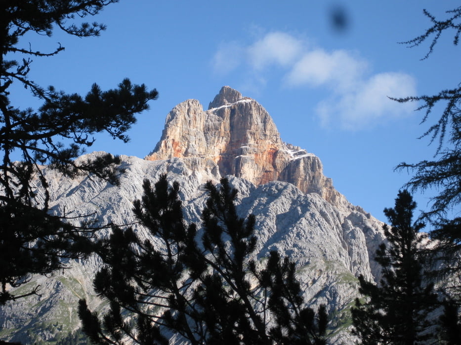
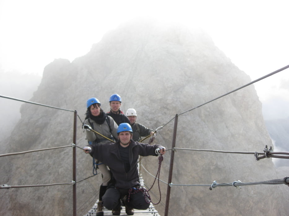
Day1: From Ristorante Ospitale via Ferrata René del Pol to Rif. Lorenzi.
Day2: Ferrata Ivano Dibona - exit at Forcella Bassa (2417m) to Rif. Son Forca
Day3: From Rif. Son Forca via Val Padeon (route 203) to Ospitale (2 hours)
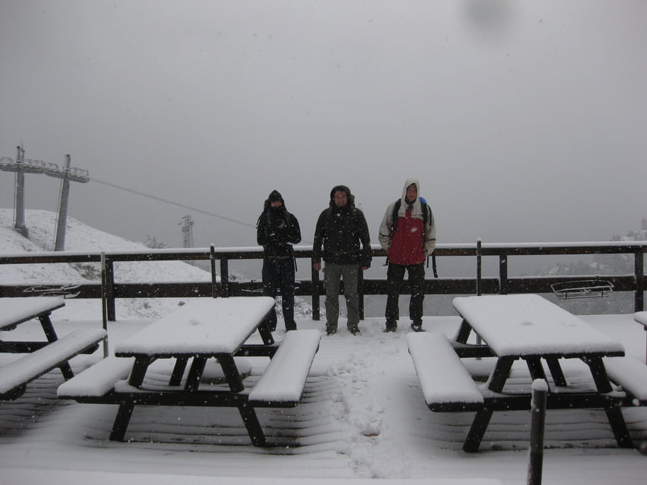
The tour can be done in two days, we did it in 3 days due to the bad weather (snow down to 2000).
GPS tracks
Trackpoints-
GPX / Garmin Map Source (gpx) download
-
TCX / Garmin Training Center® (tcx) download
-
CRS / Garmin Training Center® (crs) download
-
Google Earth (kml) download
-
G7ToWin (g7t) download
-
TTQV (trk) download
-
Overlay (ovl) download
-
Fugawi (txt) download
-
Kompass (DAV) Track (tk) download
-
Track data sheet (pdf) download
-
Original file of the author (gpx) download
More about the tour author
|
|
joe007 |
Add to my favorites
Remove from my favorites
Edit tags
Open track
My score
Rate