


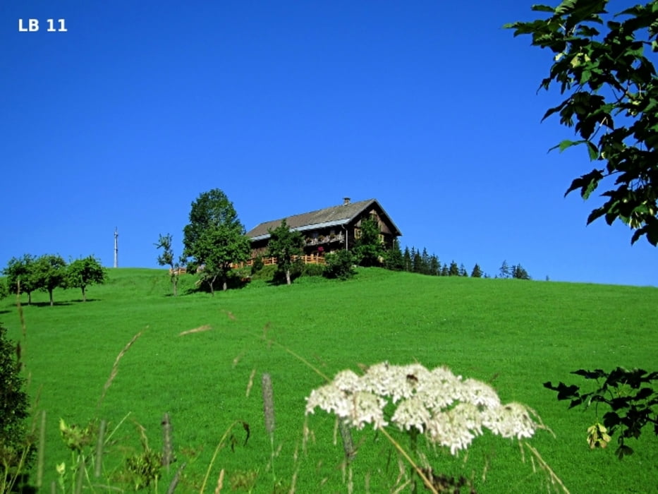
Der Ausgangspunkt für diese mit „Fageralm Route 09“ gut beschilderte, mittelschwere MTB Tour auf die Fageralm befindet sich in Forstau. Die Gemeinde Forstau liegt an der Grenze zur Steiermark im Salzburger Bezirk St. Johann im Pongau. Forstau hat ca. 560 Einwohner und liegt in einem Hochtal zwischen Schladming und Radstadt auf 923m. Von den 10,9 km sind die ersten 4,2 km asphaltiert und die restliche MTB Tour führt über eine schöne Schotterstraße hinauf bis zur Trinkeralm 1.755m. Es gibt keine besonders steilen Abschnitte und auch keine Single Trails. Die Fageralm Route darf von 1.Mai bis 15.November in der Zeit zwischen 2 Stunden nach dem Sonnenaufgang bis 1 Stunde vor dem Sonnenuntergang befahren werden. Nur auf der Abfahrt muss man aufpassen, da auch einige Autos bis zur Trinkeralm hinauffahren und das Bremsen auf dem losen Schotter bei zu schneller Fahrt ein Problem sein könnte. Bitte auch um besondere Rücksicht wenn du am Weidevieh vorbeifährst.
Tour gallery

Tour map and elevation profile
Minimum height 911 m
Maximum height 1755 m
More about the tour author
|
|
Trek1400d |
Comments

GPS tracks
Trackpoints-
GPX / Garmin Map Source (gpx) download
-
TCX / Garmin Training Center® (tcx) download
-
CRS / Garmin Training Center® (crs) download
-
Google Earth (kml) download
-
G7ToWin (g7t) download
-
TTQV (trk) download
-
Overlay (ovl) download
-
Fugawi (txt) download
-
Kompass (DAV) Track (tk) download
-
Track data sheet (pdf) download
-
Original file of the author (gpx) download
More about the tour author
|
|
Trek1400d |
Add to my favorites
Remove from my favorites
Edit tags
Open track
My score
Rate