


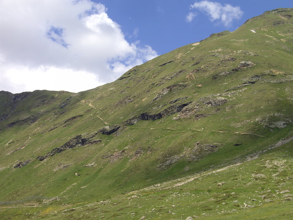
die Tour beginnt am Parkplatz der Diavolezzabahn. Zunächst 600 mtr. die Straße hinunter Richtung Pontresina, dann beginnt der unbefestigte Weg in das Val da Fain, vorbei an der Alp La Stretta auf schönem Singletrail zum Passo del Fieno. (Grenze Schweiz/Italien). Anschließend die ersten Meter sehr steil hinunter die SS 301 nach Livigno queren und über die Wiese zum Talweg. In angenehmer Steigung zum Schluß ein paar Kehren hinauf zur Forcula di Livigno. (Zollfreier Einkauf).
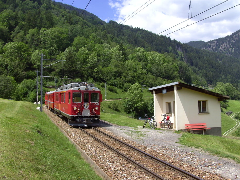
Nun auf der Verkehrsstraße bis zum Abzweig zum Berninapass und dann nach links im Sinkflug nach Poschiavo bis zur ersten Haltestelle vom Bernina-Express. Die Auffahrt mit dem Zug genießen und bei der Station Berninapass aussteigen und den Rest zurück zum Parkplatz Diavolezza. Man kann auch schon bei der Station Alp Krüm aussteigen und ohne nennenswerte Steigung zurück fahren. (Ist auch eine eigene Tour von Pontresina aus)
Tour gallery


Tour map and elevation profile
Minimum height 1118 m
Maximum height 2476 m
More about the tour author
|
|
yr1willi |
Comments

durch das Engadin nach St.Moritz, bei Samedan Richtung Berninapass nach Pontresina
GPS tracks
Trackpoints-
GPX / Garmin Map Source (gpx) download
-
TCX / Garmin Training Center® (tcx) download
-
CRS / Garmin Training Center® (crs) download
-
Google Earth (kml) download
-
G7ToWin (g7t) download
-
TTQV (trk) download
-
Overlay (ovl) download
-
Fugawi (txt) download
-
Kompass (DAV) Track (tk) download
-
Track data sheet (pdf) download
-
Original file of the author (gpx) download
More about the tour author
|
|
yr1willi |
Add to my favorites
Remove from my favorites
Edit tags
Open track
My score
Rate