Login

Forgot your login?

Cookies have to be accepted!
Your browser's cookie functionality is disabled. Please enable this functionality.

Not a member yet?

Register now
Login

Available for registred users only

Log in to use this feature.

Forgot your login?

Cookies have to be accepted!
Your browser's cookie functionality is disabled. Please enable this functionality.

Not a member yet?

Register now
Filter
Categories
Advanced filters
  • Distance (km)
  • Height
Save filters Reset filter

TrackRank

QRCode

Technical data

Distance27,8 km Height531 m Way down486 m Duration00:00 h:m Date14.06.2007
Scores Author Landscape Fun factor Fitness Technique

Statistics

1481 Views Scores 80 Downloads Average
Rate
  • Track data sheet
  • Directions
  • Downloads
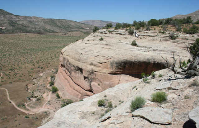
Ein paar Loops bei Fruita
Marys Loop
Steves Loop
und auf dem Rückweg der Moore Fun Trail


Tour map and elevation profile

  • Open Street Map
  • Google
Minimum height 1370 m Maximum height 1647 m Detailed view

More about the tour author

RandB
Member since 2006

Send private message

Comments

GPS tracks

Trackpoints
  • GPX / Garmin Map Source (gpx) download
  • TCX / Garmin Training Center® (tcx) download
  • CRS / Garmin Training Center® (crs) download
  • Google Earth (kml) download
  • G7ToWin (g7t) download
  • TTQV (trk) download
  • Overlay (ovl) download
  • Fugawi (txt) download
  • Kompass (DAV) Track (tk) download
  • Track data sheet (pdf) download
  • Original file of the author (gpx) download

More about the tour author

RandB
Member since 2006

Send private message
Share track
Add to my favorites
Remove from my favorites
Edit tags
My score
Rate
Track: Fruita - Marys Loop
Type: Mountain bike
Distance: 27,8 km
Evaluated on:
Duration:
Day(s)
Hour(s)
Minute(s)
Score: Landscape Fun factor Fitness Technique