
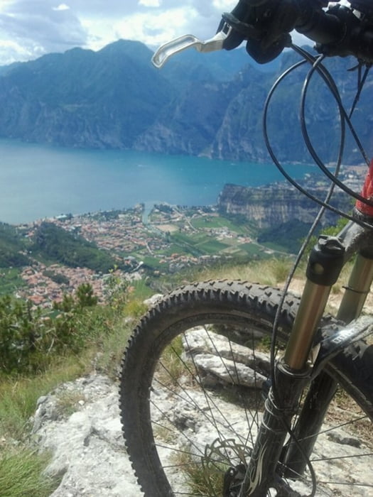

Schöner kürzere Tour am Gardasee mit langer Auffahrt auf wenig befahrener Teerstrasse, danach Trail nach Nago.
Die Tour startet in Bolognano, ab hier ca. 1000hm am Stück bergauf nach St. Barbara. Für den Trail nach Nago sind eine gute Fahrtechnik, trockener Untergrund und das richtige Material nötig, dann kann man hier viel Spass haben. Im oberen Teil viel Flow möglich, nur unten erwartet einen wieder der typische Lago-Geröll-Trail.
Tour map and elevation profile
Minimum height 108 m
Maximum height 1171 m
More about the tour author
|
|
Thane |
Comments
GPS tracks
Trackpoints-
GPX / Garmin Map Source (gpx) download
-
TCX / Garmin Training Center® (tcx) download
-
CRS / Garmin Training Center® (crs) download
-
Google Earth (kml) download
-
G7ToWin (g7t) download
-
TTQV (trk) download
-
Overlay (ovl) download
-
Fugawi (txt) download
-
Kompass (DAV) Track (tk) download
-
Track data sheet (pdf) download
-
Original file of the author (gpx) download
More about the tour author
|
|
Thane |
Add to my favorites
Remove from my favorites
Edit tags
Open track
My score
Rate
zustand
Im Moment nicht fahrbar, der viele Regen und das Gardassee Festival haben dem Trail nicht gut getan. Geht erst wieder wenn es mehrerer Tage sehr warm war damit die Schlammfelder abtrocknen können.
Auch schiebend ist man den ganzen tail hinunter gerutscht auf schlamm.
mfg