


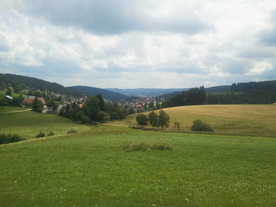
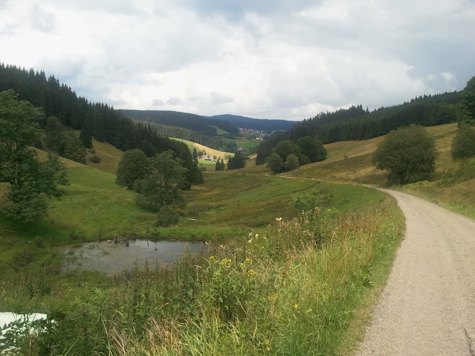
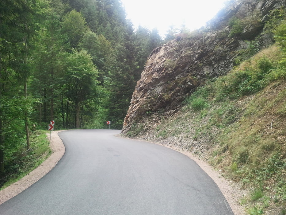
Es ist eine kleine feine Runde nach Triberg und über Furtwangen zurück Richtung Freiburg. Los gehts das Elztal hoch und weiter ins Prechtal, hoch bis auf 900m. Danach geht's runter über Schonach nach Trieberg, dann am besten Kette links denn bis zum Ortsausgang geht es steil bergan da wird es flacher aber weiter aufwärts bis auf 1000m. Dann rollt man wieder runter nach Schönenbach und Furtwangen, dort führt ein kleines Sträßchen nach Neukirch und ab hier geht's eine neu geteerte Straße bis ins Hexenloch. Danach nochmal etwas hoch und über St.Märgen und St.Peter zurück ins Glottertal.
Tour gallery
Tour map and elevation profile
Minimum height 208 m
Maximum height 1018 m
More about the tour author
|
|
titanbiker |
Comments
GPS tracks
Trackpoints-
GPX / Garmin Map Source (gpx) download
-
TCX / Garmin Training Center® (tcx) download
-
CRS / Garmin Training Center® (crs) download
-
Google Earth (kml) download
-
G7ToWin (g7t) download
-
TTQV (trk) download
-
Overlay (ovl) download
-
Fugawi (txt) download
-
Kompass (DAV) Track (tk) download
-
Track data sheet (pdf) download
-
Original file of the author (gpx) download
More about the tour author
|
|
titanbiker |
Add to my favorites
Remove from my favorites
Edit tags
Open track
My score
Rate
Superschön aber anstrengend
Der Anstieg von Triberg nach Geutsche ist allerdings von 10 bis 15% eine ganz schöne Rampe.
vielen Dank für den Track!