


Von Mering ins Unterallgäu und durch die Stauden zurück
Die gesamte Route verläuft überwiegend auf kleinen Nebenstraßen oder auf Landstraßen mit wenig KFZ-Verkehr.
Die Tour führt südlich um den Naturpark "Augsburg westliche Wälder" (Stauden) und durchquert diesen dann von West nach Ost. Anfangs, von Mering bis Ettringen, verläuft die Strecke relativ flach dass sich aber dann sehr schnell ändert. Die Höhenmeter werden fast allesamt im mittleren Streckenabschnitt gesammelt. Man fährt auch die sehr schöne Rennstrecke (Bergrennen) bei Mickhausen hoch. Das Schlussstück, ab Leuthau, ist dann fast wieder eben und lässt ein gemütliches Ausrollen zu.
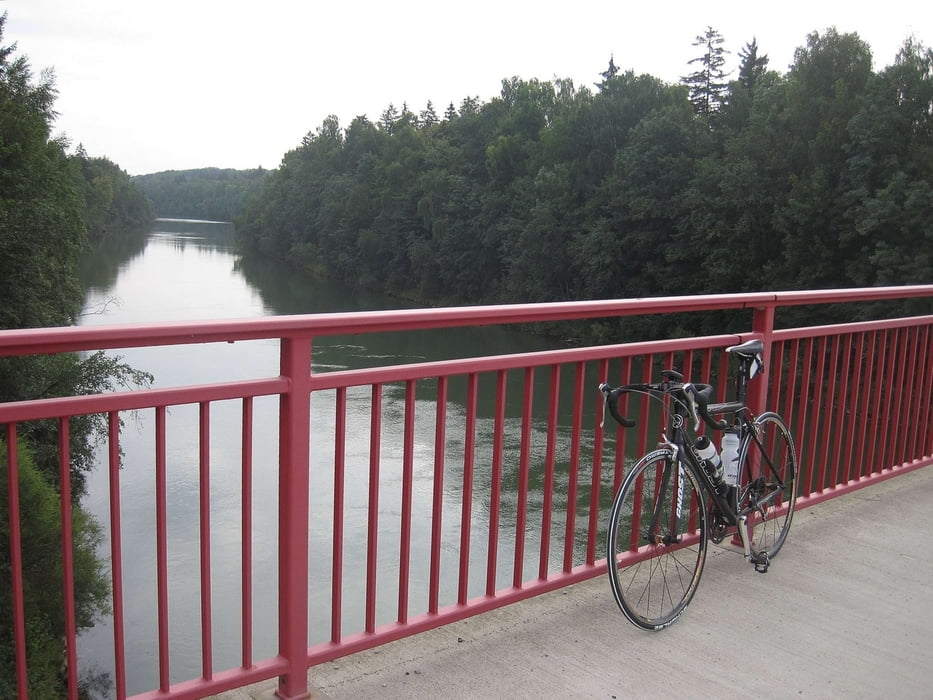
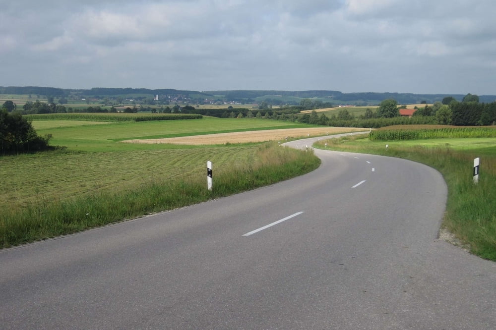
Tour gallery

Tour map and elevation profile
Minimum height 501 m
Maximum height 627 m
More about the tour author

|
Phlox_1 |
Comments

Da es sich um eine Rundtour handelt kann man praktisch von jedem beliebigem Punkt aus starten.
GPS tracks
Trackpoints-
GPX / Garmin Map Source (gpx) download
-
TCX / Garmin Training Center® (tcx) download
-
CRS / Garmin Training Center® (crs) download
-
Google Earth (kml) download
-
G7ToWin (g7t) download
-
TTQV (trk) download
-
Overlay (ovl) download
-
Fugawi (txt) download
-
Kompass (DAV) Track (tk) download
-
Track data sheet (pdf) download
-
Original file of the author (gpx) download
More about the tour author
|
|
Phlox_1 |
Add to my favorites
Remove from my favorites
Edit tags
Open track
My score
Rate