Login

Forgot your login?

Cookies have to be accepted!
Your browser's cookie functionality is disabled. Please enable this functionality.

Not a member yet?

Register now
Login

Available for registred users only

Log in to use this feature.

Forgot your login?

Cookies have to be accepted!
Your browser's cookie functionality is disabled. Please enable this functionality.

Not a member yet?

Register now
Filter
Categories
Advanced filters
  • Distance (km)
  • Height
Save filters Reset filter

TrackRank

QRCode

Technical data

Distance9,1 km Height768 m Way down761 m Duration04:28 h:m Date31.07.2011
Scores Author User Landscape Fun factor Fitness Technique

Statistics

4029 Views Scores 42 Downloads Average
Rate
  • Track data sheet
  • Directions
  • Downloads
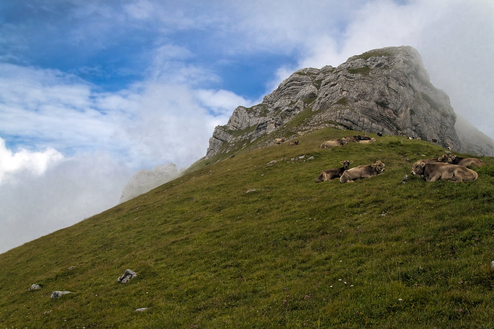
Einfach den Schildern und Markierungen Richtung Margelkopf folgen. Auf die unzähligen teilweise unter Strom stehenden Kuhzäune achten.

Tour gallery

Tour map and elevation profile

  • Open Street Map
  • Google
Minimum height 1428 m Maximum height 2216 m Detailed view

More about the tour author

Helix78
Member since 2011

Send private message

Comments

Mit dem Auto oder Bus auf den Parkplatz beim Malbuner Berghaus. Kosten für Tagespauschale Parken: EUR 4 oder CHF 6


GPS tracks

Trackpoints
  • GPX / Garmin Map Source (gpx) download
  • TCX / Garmin Training Center® (tcx) download
  • CRS / Garmin Training Center® (crs) download
  • Google Earth (kml) download
  • G7ToWin (g7t) download
  • TTQV (trk) download
  • Overlay (ovl) download
  • Fugawi (txt) download
  • Kompass (DAV) Track (tk) download
  • Track data sheet (pdf) download
  • Original file of the author (gpx) download

More about the tour author

Helix78
Member since 2011

Send private message
Share track
Add to my favorites
Remove from my favorites
Edit tags
My score
Rate
Track: Vom Berghaus Malbun (Buchs) auf den Margelkopf
Type: Mountain hiking
Distance: 9,1 km
Evaluated on:
Duration:
Day(s)
Hour(s)
Minute(s)
Score: Landscape Fun factor Fitness Technique