


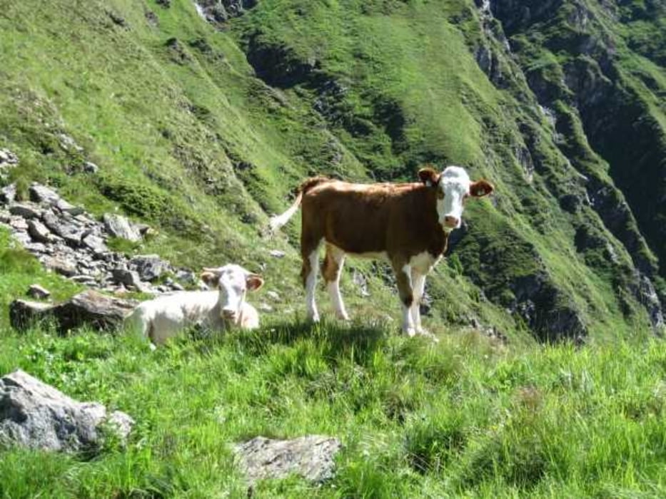
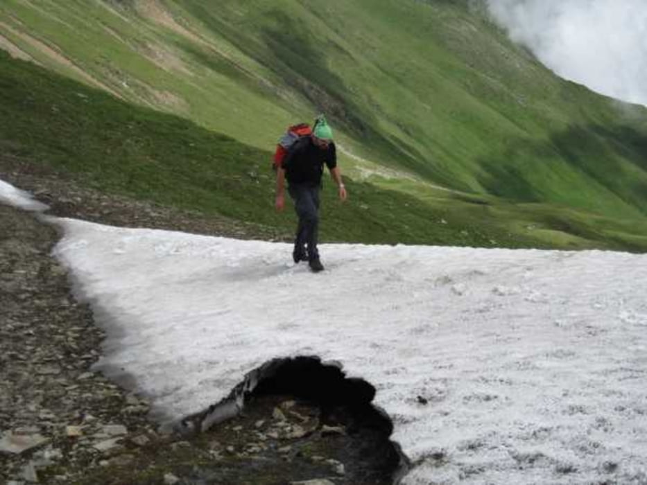
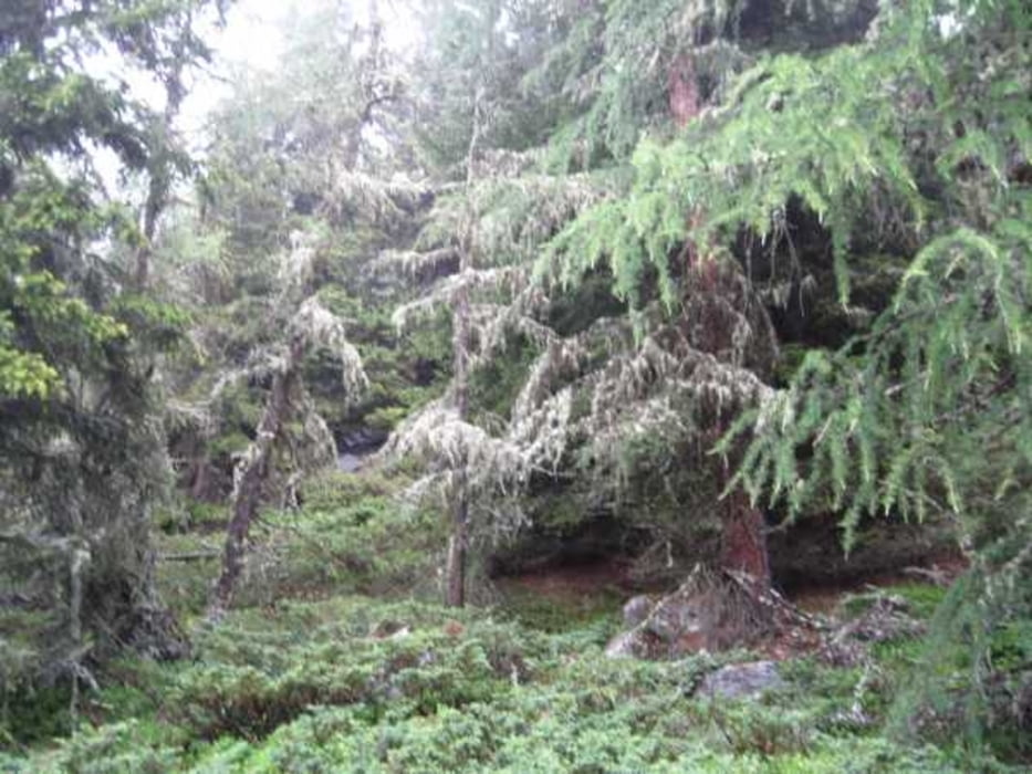
Von St.Veith geht es zuerst auf einen kleinen Pfaden links vom Bauerhof ab. Der Weg zieht sich Anfangs noch durch den Wald, doch je höher wir kommen um so spärlicher wird die Vegetation. Die Aussicht ist so ab 2000m ungetrübt auf die grünen Berge ringsherum. Oben am Grat sind dann auch der Großvenediger zu sehen. Der Grat von der Meispitze bis zum Speikboden ist nicht schwer, trittsicher sollte man aber auf jeden Fall sein. Der Abstieg nach St.Veith ist Anfangs noch recht steil, wird aber dann immer "humaner" zum Gehen.
Tour gallery
Tour map and elevation profile
Minimum height 1398 m
Maximum height 2730 m
More about the tour author
|
|
tazzo |
Comments

Von Norden durch den Tauerntunnel (10€ pro Fahrtrichtung 2011) bis nach Huben (eine Ortschaft nach Matrei in Osttirol). Dort abbiegen ins Defreggental und weiter bis zum Abzweig nach St.Veith. Dort kann man auch einen Parkplatz suchen.
GPS tracks
Trackpoints-
GPX / Garmin Map Source (gpx) download
-
TCX / Garmin Training Center® (tcx) download
-
CRS / Garmin Training Center® (crs) download
-
Google Earth (kml) download
-
G7ToWin (g7t) download
-
TTQV (trk) download
-
Overlay (ovl) download
-
Fugawi (txt) download
-
Kompass (DAV) Track (tk) download
-
Track data sheet (pdf) download
-
Original file of the author (gpx) download
More about the tour author
|
|
tazzo |
Add to my favorites
Remove from my favorites
Edit tags
Open track
My score
Rate