
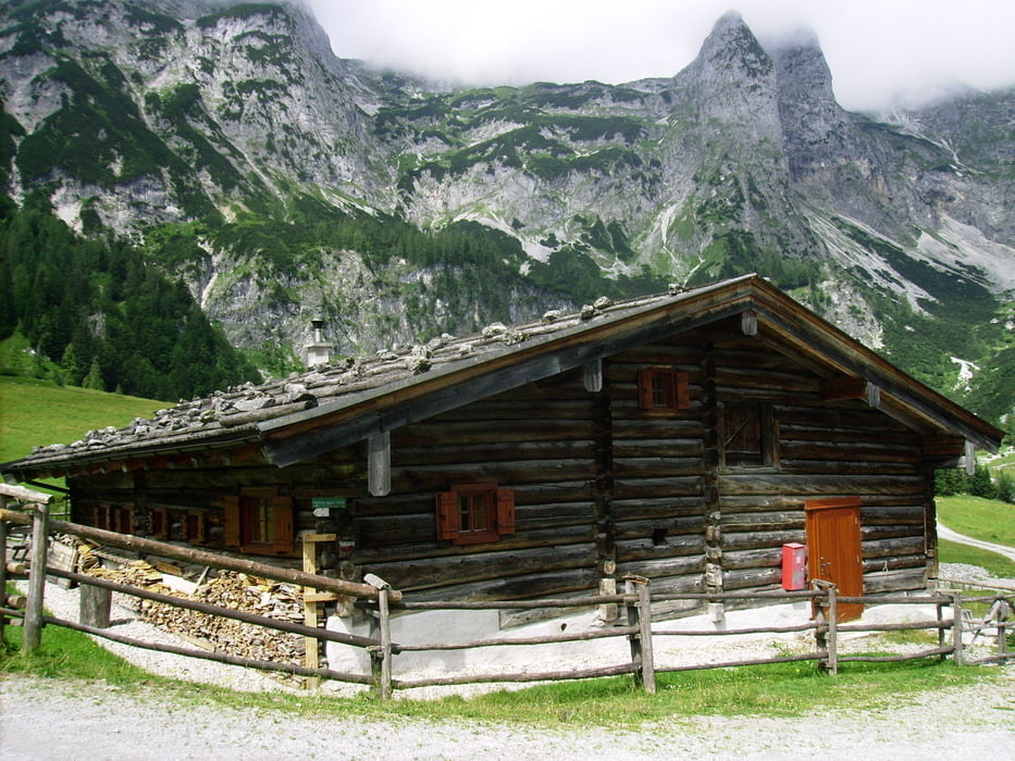

Von Bischofshofen ca. 14 km auf der B99 bis Niedernfritz. Von Niedernfritz bis St. Martin /Tennengebirge ist bis auf ein kleines Stück ein Radweg vorhanden (so entgeht man dem starken LKW-Verkehr). Bei der Ortseinfahrt in Lungötz zweigt vor der Rechtskurve links der Weg zur Aualm ab. Nach ca. 6,2 km und 390 überwundenen Höhenmetern sind wir beim stillgelegten Truppenübungsplatz Aualm. Auf dem Retourweg zweigt nach 4,3 km rechts ein Weg nach St. Martin ab. Nach 4,5 km ist der Punkt erreicht, von wo es bis Bischofshofen nur mehr bergab geht.
Tour gallery
Tour map and elevation profile
Minimum height 521 m
Maximum height 1203 m
More about the tour author

|
Hafi |
Comments

GPS tracks
Trackpoints-
GPX / Garmin Map Source (gpx) download
-
TCX / Garmin Training Center® (tcx) download
-
CRS / Garmin Training Center® (crs) download
-
Google Earth (kml) download
-
G7ToWin (g7t) download
-
TTQV (trk) download
-
Overlay (ovl) download
-
Fugawi (txt) download
-
Kompass (DAV) Track (tk) download
-
Track data sheet (pdf) download
-
Original file of the author (gpx) download
More about the tour author
|
|
Hafi |
Add to my favorites
Remove from my favorites
Edit tags
Open track
My score
Rate