
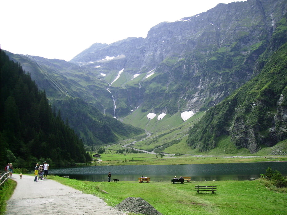

Nachdem wir Mittersill hinter uns gelassen haben, radeln wir entlang des Felber Baches bis wir das Wolfram Werk erreichen. An das Werk schließt eine Lawinengalerie an, nach der die Straße zum Hintersee rechts abzweigt. Nach 5 km bergaufradeln hat man den Hintersee erreicht. Wunderschön gelegen. Einzig, die überall im Pinzgau anzutreffenden Stromautobahnen stören...obwohl der aus Wasserkraft produzierte Strom muss ja auch irgendwie zum Konsumenten kommen...
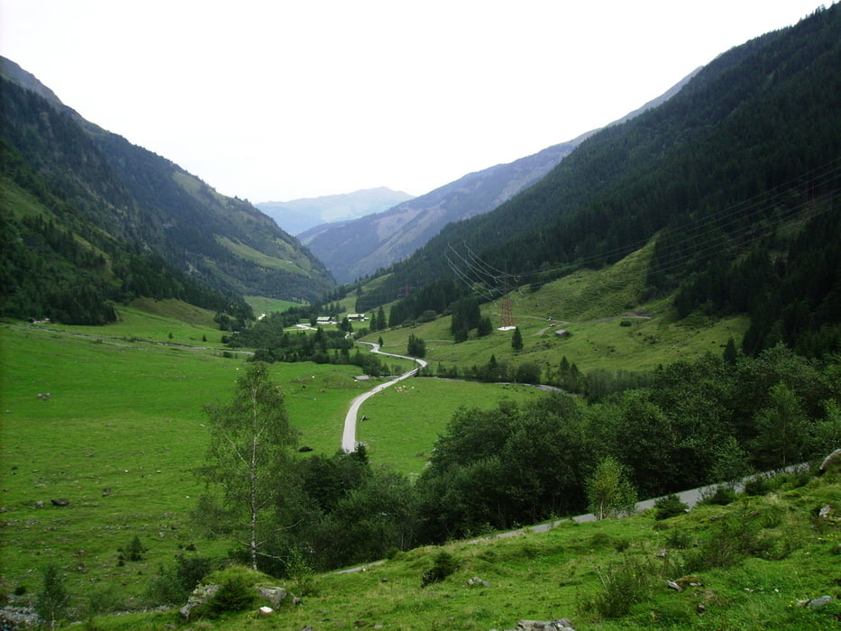
Bergab wird dann die Mountainbikestrecke links und rechts der Felbertauernstr. genutzt. Bis Mittersill wird ein derartiger Schwung erreicht, dass ich auf dem Tauernradweg erst in Bischofshofen zum Stillstand gekommen bin.
Tour gallery
Tour map and elevation profile
Minimum height 528 m
Maximum height 1321 m
More about the tour author

|
Hafi |
Comments

GPS tracks
Trackpoints-
GPX / Garmin Map Source (gpx) download
-
TCX / Garmin Training Center® (tcx) download
-
CRS / Garmin Training Center® (crs) download
-
Google Earth (kml) download
-
G7ToWin (g7t) download
-
TTQV (trk) download
-
Overlay (ovl) download
-
Fugawi (txt) download
-
Kompass (DAV) Track (tk) download
-
Track data sheet (pdf) download
-
Original file of the author (gpx) download
More about the tour author
|
|
Hafi |
Add to my favorites
Remove from my favorites
Edit tags
Open track
My score
Rate