Login

Forgot your login?

Cookies have to be accepted!
Your browser's cookie functionality is disabled. Please enable this functionality.

Not a member yet?

Register now
Login

Available for registred users only

Log in to use this feature.

Forgot your login?

Cookies have to be accepted!
Your browser's cookie functionality is disabled. Please enable this functionality.

Not a member yet?

Register now
Filter
Categories
Advanced filters
  • Distance (km)
  • Height
Save filters Reset filter

TrackRank

QRCode

Technical data

Distance14,2 km Height1095 m Way down1099 m Duration05:00 h:m Date01.08.2011
Scores Author User Landscape Fun factor Fitness Technique

Statistics

2656 Views 2 Scores 201 Downloads 3.00 Average
Rate
  • Track data sheet
  • Directions
  • Downloads

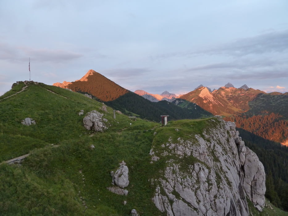
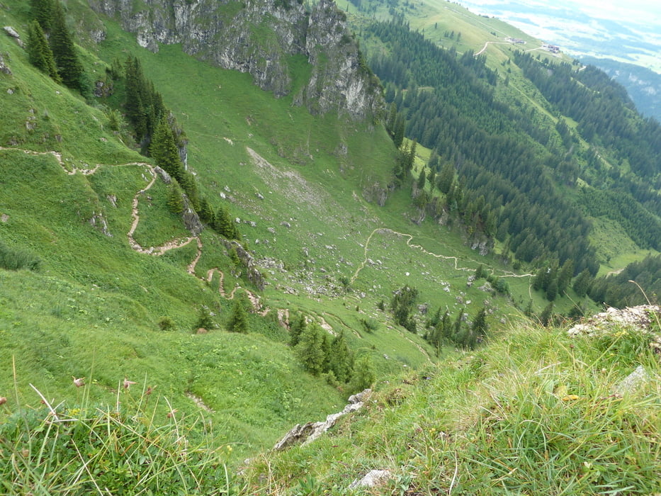
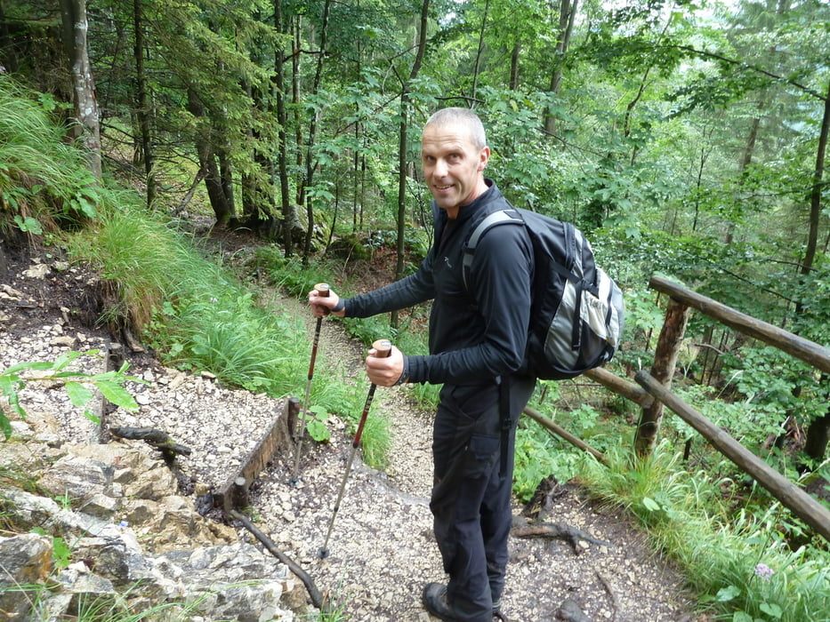
Wandertour aus dem Rother Wanderführer von Pfronten durch die Reichenbachschlucht zur Bad Kissinger Hütte (gute Übernachtungsmöglichkeit). Der Rückweg ist laut Wanderführer identisch wie der Aufstieg, wir sind deshalb eine andere Variante zurück gelaufen. Wegen Schneefall haben wir den kurzen Abstecher auf den Gipfel des Aggenstein ausgelassen.

Dauer Aufstieg: ca 3 h, Abstieg ca 2,5 h

Tour gallery

Tour map and elevation profile

  • Open Street Map
  • Google
Minimum height 846 m Maximum height 1941 m Detailed view

More about the tour author

gami
Member since 2008

Send private message

Comments

Parkplatz der Breitenberg Bahn in Pfronten

GPS tracks

Trackpoints
  • GPX / Garmin Map Source (gpx) download
  • TCX / Garmin Training Center® (tcx) download
  • CRS / Garmin Training Center® (crs) download
  • Google Earth (kml) download
  • G7ToWin (g7t) download
  • TTQV (trk) download
  • Overlay (ovl) download
  • Fugawi (txt) download
  • Kompass (DAV) Track (tk) download
  • Track data sheet (pdf) download
  • Original file of the author (gpx) download

More about the tour author

gami
Member since 2008

Send private message
Share track
Add to my favorites
Remove from my favorites
Edit tags
My score
Rate
Track: Pfronten - Bad Kissinger Hütte - Aggenstein
Type: Hiking
Distance: 14,2 km
Evaluated on:
Duration:
Day(s)
Hour(s)
Minute(s)
Score: Landscape Fun factor Fitness Technique