

Aufstieg: 2 Stunden 40 Minuten
Abstieg: 1 Stunde 40 Minuten
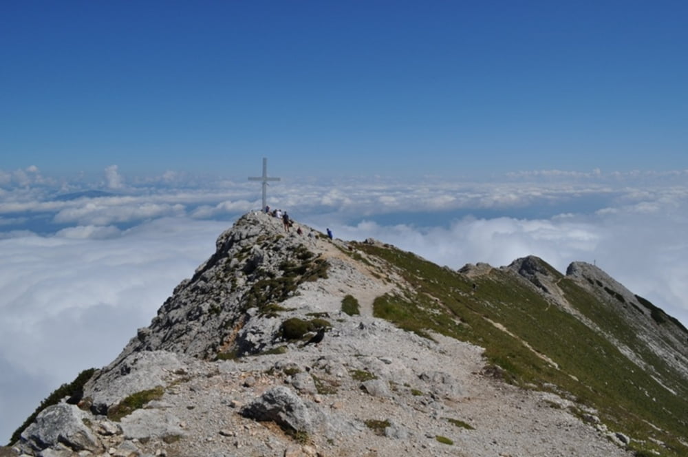
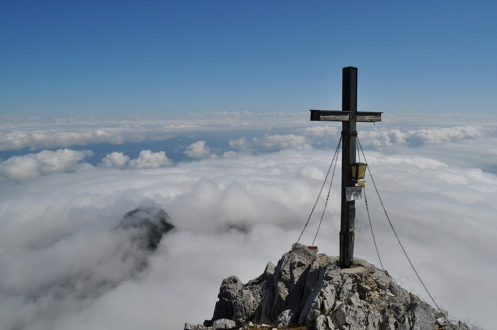
Vom Parkplatz weiter entlag der Forststraße, Abkürzungen durch den Wald möglich. 20 m vor der Abzweigung zur Bertahütte rechts auf einem kleinen Pfad in den Wald bis zum Wandfuß, leichte ausgesetzte Kletterei, später durch Latschen und blockiges Gelände zuerst zum Gipfelkreuz Nordnordostgrat, dann unweit zum Gipfelkreuz des MIttagskogels. Abstieg über den Normalweg
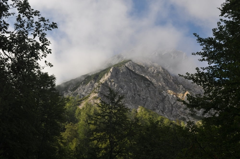
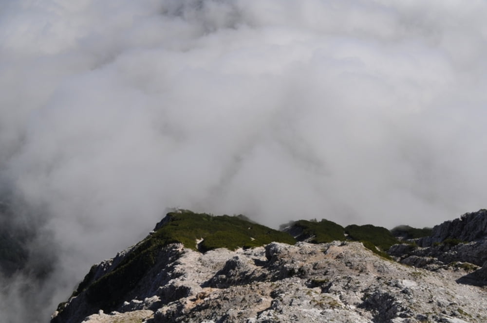
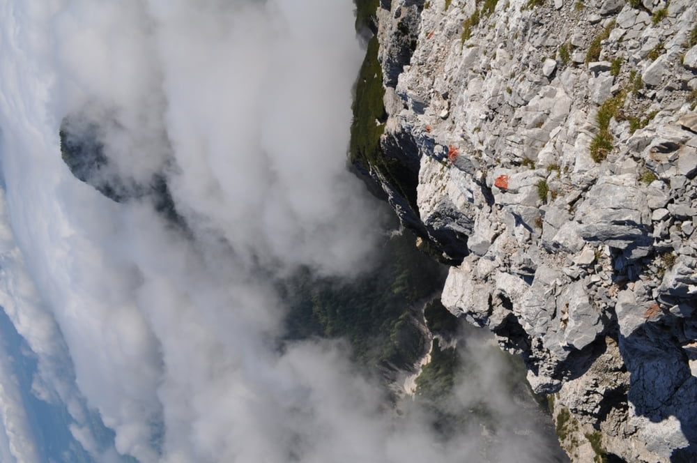
Tour gallery
Tour map and elevation profile
Minimum height 484 m
Maximum height 2136 m
More about the tour author
|
|
harald07071 |
Comments

Von der A2 Abfahrt Faakersee, am Faakersee vorbei links auf die B84 durch Ledenitzen bis zur Kreuzung beim Hotel Mittagskogel, dort links, nach ca. 100 m rechts Beschilderung Berta-Hütte
GPS tracks
Trackpoints-
GPX / Garmin Map Source (gpx) download
-
TCX / Garmin Training Center® (tcx) download
-
CRS / Garmin Training Center® (crs) download
-
Google Earth (kml) download
-
G7ToWin (g7t) download
-
TTQV (trk) download
-
Overlay (ovl) download
-
Fugawi (txt) download
-
Kompass (DAV) Track (tk) download
-
Track data sheet (pdf) download
-
Original file of the author (gpx) download
More about the tour author
|
|
harald07071 |
Add to my favorites
Remove from my favorites
Edit tags
Open track
My score
Rate