


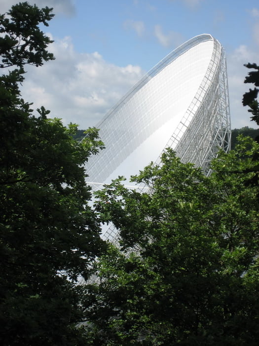
Die Tour führt von Euskirchen zur Tomburg oberhalb von Rheinbach, von dort auf Umwegen zum Hochthürmenberg, weiter über Kirchsahr zur Rückseite des Radioteleskops bei Effelsberg, über den Knippberg nach Bad Münstereifel und von dort auf ungerader Linie zurück nach Euskirchen.
Größtenteils führt die Strecke über befestigte Wald- und Feldwege, Singletrails sind natürlich auch ein paar dabei.
Größtenteils führt die Strecke über befestigte Wald- und Feldwege, Singletrails sind natürlich auch ein paar dabei.
Further information at
http://www.xalps.deTour gallery
Tour map and elevation profile
Minimum height 124 m
Maximum height 515 m
More about the tour author
|
|
XALPS.DE |
Comments

Mit der Bahn nach Euskirchen. Oder natürlich mit dem Auto. Wir haben nämlich eine Autobahn... :-)
GPS tracks
Trackpoints-
GPX / Garmin Map Source (gpx) download
-
TCX / Garmin Training Center® (tcx) download
-
CRS / Garmin Training Center® (crs) download
-
Google Earth (kml) download
-
G7ToWin (g7t) download
-
TTQV (trk) download
-
Overlay (ovl) download
-
Fugawi (txt) download
-
Kompass (DAV) Track (tk) download
-
Track data sheet (pdf) download
-
Original file of the author (gpx) download
More about the tour author
|
|
XALPS.DE |
Add to my favorites
Remove from my favorites
Edit tags
Open track
My score
Rate