


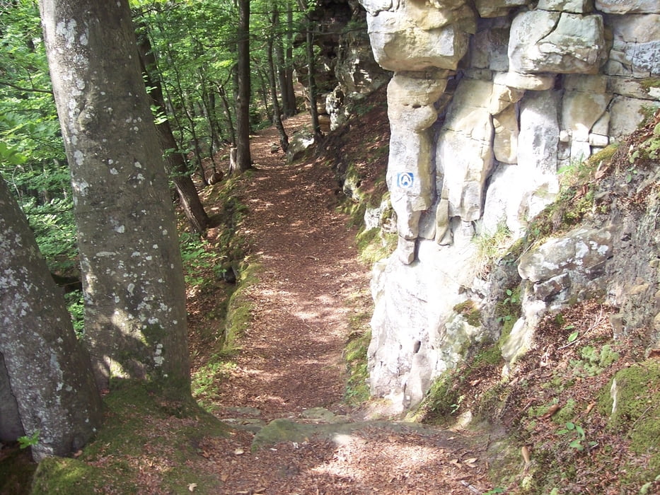
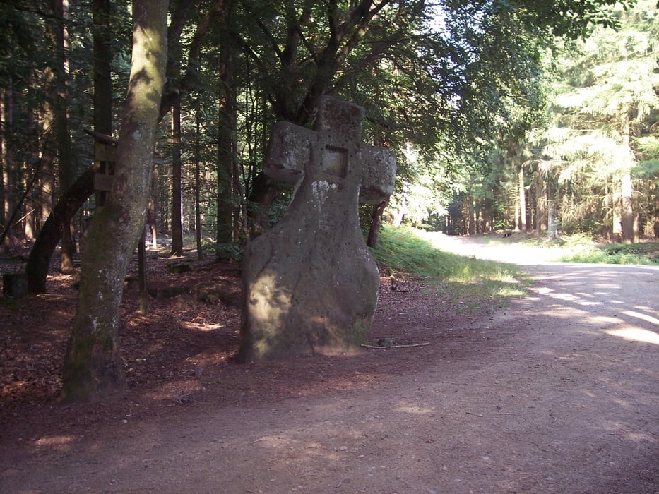
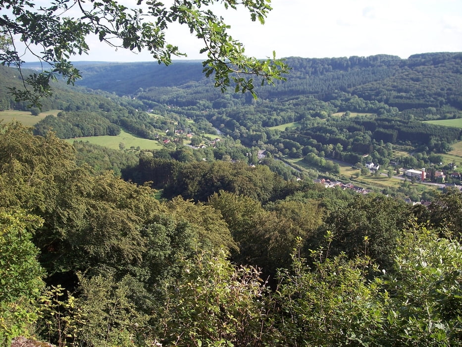
Die Tour startet am Dorfbrunnen in Bollendorf, Ecke Neuerburger/Wallendorfer Straße. Am Dorfausgang geht es links in einen Feldweg hinein. Dieser führt zum Schloß Weilerbach. Jetzt geht es etwas steiler hoch zum Ferschweiler Plateau, vorbei an Opferaltar, Niederburg bis nach Ferschweiler. Dort befindet sich der Einstieg in den Felsenpfad. Diesem abwechslungsreichen Singletrail folgen wir bis zur Liboriuskapelle hoch über Echternach. Jetzt geht es über Wirtschaftswege/Waldwege bis zum Fraubillenkreuz und Fahnenstange. Zum Abschluss noch ein spaßiger Trail ins Tal zurück nach Bollendorf!
Further information at
http://www.bollendorf.de/Tour gallery

Tour map and elevation profile
Minimum height 181 m
Maximum height 413 m
More about the tour author
|
|
Canyon_Star |
Comments

....google maps...
GPS tracks
Trackpoints-
GPX / Garmin Map Source (gpx) download
-
TCX / Garmin Training Center® (tcx) download
-
CRS / Garmin Training Center® (crs) download
-
Google Earth (kml) download
-
G7ToWin (g7t) download
-
TTQV (trk) download
-
Overlay (ovl) download
-
Fugawi (txt) download
-
Kompass (DAV) Track (tk) download
-
Track data sheet (pdf) download
-
Original file of the author (gpx) download
More about the tour author
|
|
Canyon_Star |
Add to my favorites
Remove from my favorites
Edit tags
Open track
My score
Rate