

Es handelt sich um die Tour #70109 Teufelsley von Dendenbach Steiner Berg Hochachtdie ich nachgefahren bin.
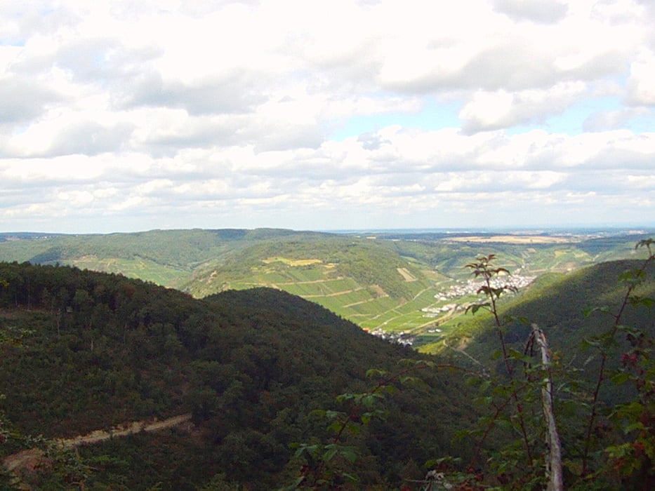
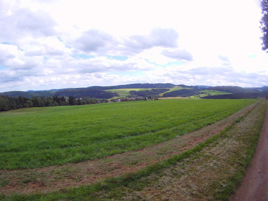
Die Tour verläuft zu 99 % über Waldautobahnen und 1% auf Asphalt und Strassen, Landschaftlich und Konditonell ist die Tour empfehlenswert.
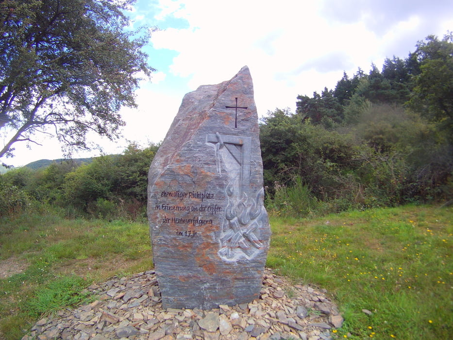
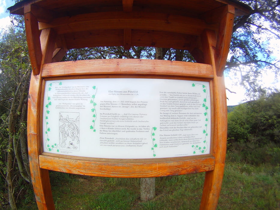
http://www.suite101.de/content/hexentanzplatz-und-richtstaette-a60394
http://de.wikipedia.org/wiki/Fernmeldeturm_Heckenbach-Schöneberg
Eine kleine zusammenfassung als Video auf youtube.
Further information at
http://de.wikipedia.org/wiki/Teufelsley_(Rheinland-Pfalz)Tour gallery
Tour map and elevation profile
Minimum height 205 m
Maximum height 629 m
More about the tour author
|
|
Wollibalou |
Comments

Im Navi Dedenbach Oberdorfstrasse eingeben und die Strasse durchfahren und auf der linken Seite ist ein kleiner Parkplatz der nicht ausgeschildert ist.
GPS tracks
Trackpoints-
GPX / Garmin Map Source (gpx) download
-
TCX / Garmin Training Center® (tcx) download
-
CRS / Garmin Training Center® (crs) download
-
Google Earth (kml) download
-
G7ToWin (g7t) download
-
TTQV (trk) download
-
Overlay (ovl) download
-
Fugawi (txt) download
-
Kompass (DAV) Track (tk) download
-
Track data sheet (pdf) download
-
Original file of the author (gpx) download
More about the tour author
|
|
Wollibalou |
Add to my favorites
Remove from my favorites
Edit tags
Open track
My score
Rate