Login

Forgot your login?

Cookies have to be accepted!
Your browser's cookie functionality is disabled. Please enable this functionality.

Not a member yet?

Register now
Login

Available for registred users only

Log in to use this feature.

Forgot your login?

Cookies have to be accepted!
Your browser's cookie functionality is disabled. Please enable this functionality.

Not a member yet?

Register now
Filter
Categories
Advanced filters
  • Distance (km)
  • Height
Save filters Reset filter

TrackRank

QRCode

Technical data

Distance40,9 km Height384 m Way down374 m Duration04:00 h:m Date10.08.2011
Scores Author Landscape Fun factor Fitness Technique

Statistics

426 Views Scores 41 Downloads Average
Rate
  • Track data sheet
  • Directions
  • Downloads
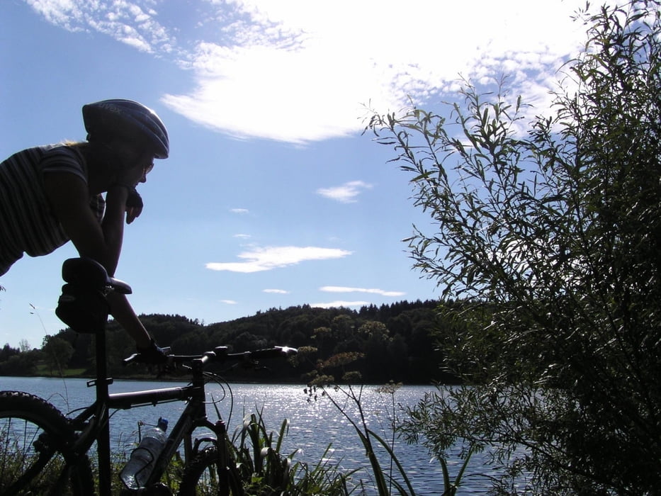
Wir radeln die Höhepunkte Mittelschwabens an: Den Oberegger Stausee, der als Vogelparadies gilt, das Kloster Roggenburg (1758), die legendäre Waldwirtschaft Waldreichenbach und den Oberrieder Weiher, der zum Baden einlädt.

Tour gallery

Tour map and elevation profile

  • Open Street Map
  • Google
Minimum height 486 m Maximum height 582 m Detailed view

More about the tour author

ulipele
Member since 2011

Send private message

Comments

Start der Tour ist in Krumbach im südlichen Landkreis Günzburg und Knotenpunkt der beiden Bundesstraßen B 300 und B 16.

GPS tracks

Trackpoints
  • GPX / Garmin Map Source (gpx) download
  • TCX / Garmin Training Center® (tcx) download
  • CRS / Garmin Training Center® (crs) download
  • Google Earth (kml) download
  • G7ToWin (g7t) download
  • TTQV (trk) download
  • Overlay (ovl) download
  • Fugawi (txt) download
  • Kompass (DAV) Track (tk) download
  • Track data sheet (pdf) download
  • Original file of the author (gpx) download

More about the tour author

ulipele
Member since 2011

Send private message
Share track
Add to my favorites
Remove from my favorites
Edit tags
My score
Rate
Track: Radelnanders Lamaziegi Kreis Günzburg Raum Krumbach Schwaben Mittelschwäbische Nachrichten Augsburger Allgemeine
Type: Mountain bike
Distance: 40,9 km
Evaluated on:
Duration:
Day(s)
Hour(s)
Minute(s)
Score: Landscape Fun factor Fitness Technique