


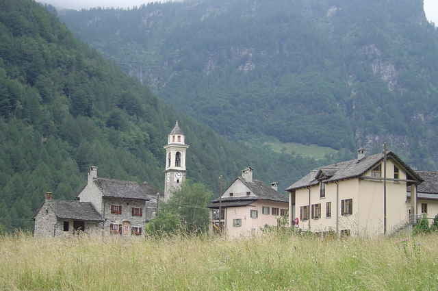
Vom Parkplatz am Ortsausgang von Lavertezzo, wandern wir zunächst über die "Ponte dei Salti". Von ihren beiden Bögen herunter genießt man einen herrlichen Blick in das smaragdgrüne Wasser der "Verzasca". Hinter der Brücke geht es dann rechts weiter auf den "Sentierone". Die Wanderung führt uns immer entlang der Verzasca. Vorbei an riesigen Felsbrocken die von einem prähistorischen Bergsturz stammen, traumhaften Rusticos und malerischen Bergdörfern führt der Weg stetig bergauf bis nach Sonogno. Von hier aus fährt das öffentliche Postauto zurück zum Ausgangspunkt der Wanderung in Lavertezzo. Bei warmen Wetter sollte man genügend Zeit für eine Erfrischung in der Verzasca mit einplanen. Viel Spaß beim Wandern !!!
Further information at
http://de.wikipedia.org/wiki/VerzascaTour gallery
Tour map and elevation profile
Minimum height 548 m
Maximum height 936 m
More about the tour author
|
|
Captain |
Comments

Von Gordola durch das Valle Verzasca bis zum Parklatz bei der Ponte dei Salti in Lavertezzo fahren
GPS tracks
Trackpoints-
GPX / Garmin Map Source (gpx) download
-
TCX / Garmin Training Center® (tcx) download
-
CRS / Garmin Training Center® (crs) download
-
Google Earth (kml) download
-
G7ToWin (g7t) download
-
TTQV (trk) download
-
Overlay (ovl) download
-
Fugawi (txt) download
-
Kompass (DAV) Track (tk) download
-
Track data sheet (pdf) download
-
Original file of the author (gpx) download
More about the tour author
|
|
Captain |
Add to my favorites
Remove from my favorites
Edit tags
Open track
My score
Rate