Login

Forgot your login?

Cookies have to be accepted!
Your browser's cookie functionality is disabled. Please enable this functionality.

Not a member yet?

Register now
Login

Available for registred users only

Log in to use this feature.

Forgot your login?

Cookies have to be accepted!
Your browser's cookie functionality is disabled. Please enable this functionality.

Not a member yet?

Register now
Filter
Categories
Advanced filters
  • Distance (km)
  • Height
Save filters Reset filter

TrackRank

QRCode

Technical data

Distance56,9 km Height1203 m Way down1246 m Duration03:00 h:m Date13.08.2011
Scores Author Landscape Fun factor Fitness Technique

Statistics

671 Views 1 Score 105 Downloads 2.00 Average
Rate
  • Track data sheet
  • Directions
  • Downloads


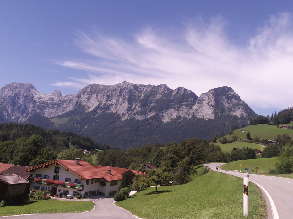
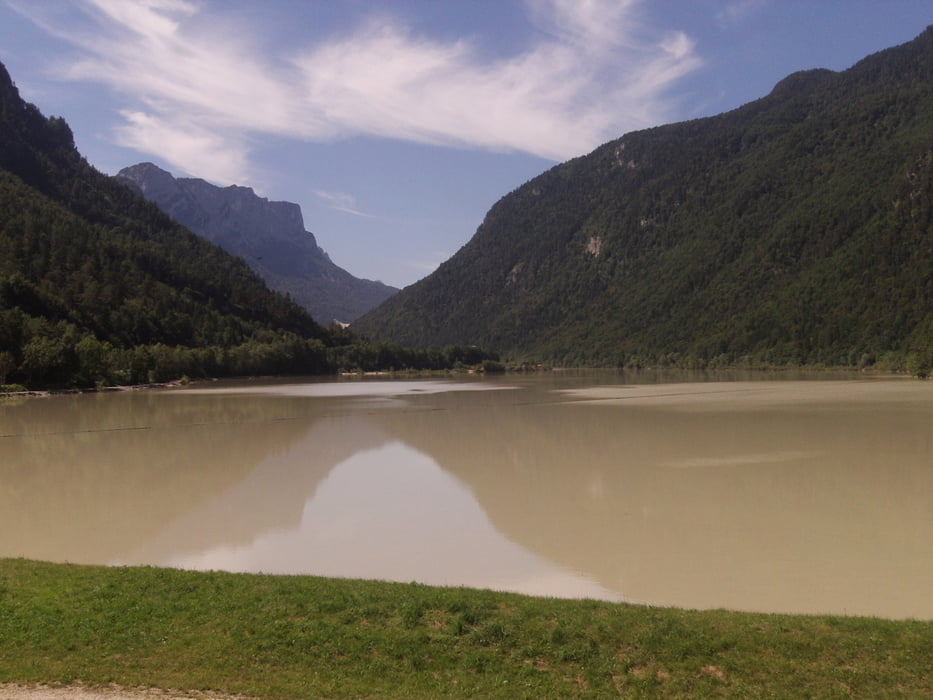
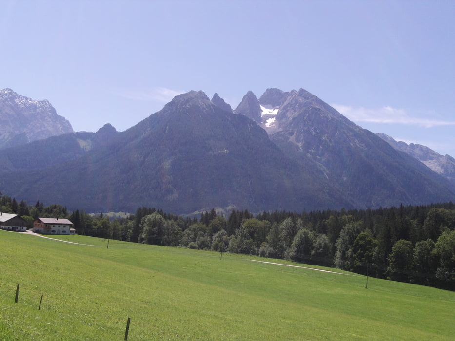
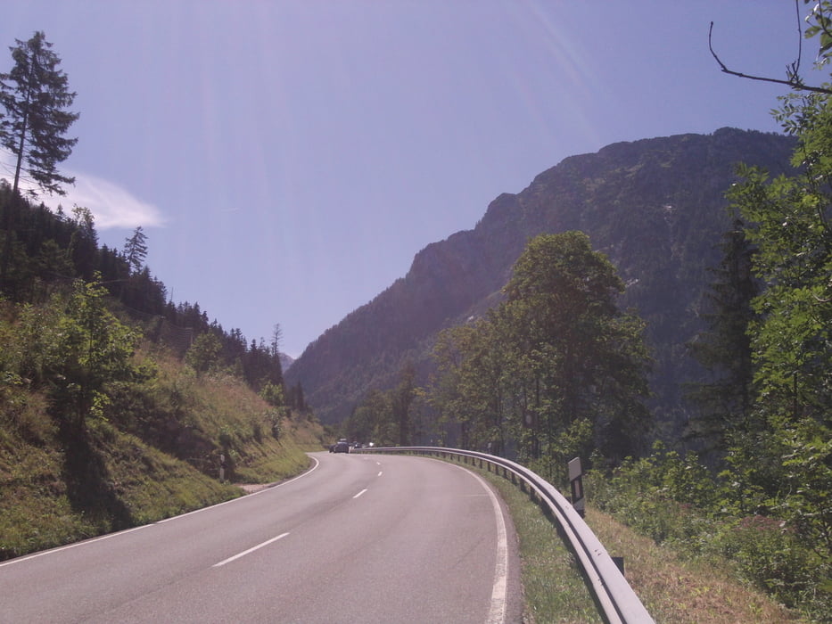
Von Berchtesgaden Pension Anötzlehen richtung Bischofswiesen-Winkel-Bayerisch Gmain-Bad Reichen Hall-Saalachsee-Unterjettenberg-Ramsau-Berchtesgaden Anötzlehen.


Tour gallery

Tour map and elevation profile

  • Open Street Map
  • Google
Minimum height 469 m Maximum height 902 m Detailed view

More about the tour author

ubikefun
Member since 2010

Send private message

Comments

klixx on 27.06.2020

Naja

Wir sind die Runde an einem Schlechtwettertag gefahren. Ich kann sie nicht empfehlen. Fast nur Asphalt (ok, hätte man mit Blick auf die Karte vorher merken können) und die Höhenmeter waren bei uns auch deutlich niedriger als angegeben. Insgesamt langweilig. Aber ist ja Geschmackssache.

GPS tracks

Trackpoints
  • GPX / Garmin Map Source (gpx) download
  • TCX / Garmin Training Center® (tcx) download
  • CRS / Garmin Training Center® (crs) download
  • Google Earth (kml) download
  • G7ToWin (g7t) download
  • TTQV (trk) download
  • Overlay (ovl) download
  • Fugawi (txt) download
  • Kompass (DAV) Track (tk) download
  • Track data sheet (pdf) download
  • Original file of the author (tcx) download

More about the tour author

ubikefun
Member since 2010

Send private message
Share track
Add to my favorites
Remove from my favorites
Edit tags
My score
Rate
Track: Berchtesgaden-Bad Reichenhall-Ramsau und zurück
Type: Mountain bike
Distance: 56,9 km
Evaluated on:
Duration:
Day(s)
Hour(s)
Minute(s)
Score: Landscape Fun factor Fitness Technique