
")

This is a beautiful Tour which gets you into Spain and out of it again on quiet roads (except for the first part).
You start in Ceret and follow the D115 in direction Amelie les Bains until Can Partere; in this first part of the tour you have to face some annoying traffic. This will change suddenly as soon as you take the D3 up to Coustoche. The road is shady and you pass interesting and nice villages (ever wanted to buy some traditional espadrilles? Then Saint Laurent de Cerdans is the place for you!). At the end of the first climb you reach beautiful medieval Coustouche. Visit the church and don't forget to refill your bottles with the delightful cool water at the fountain in front of the church.
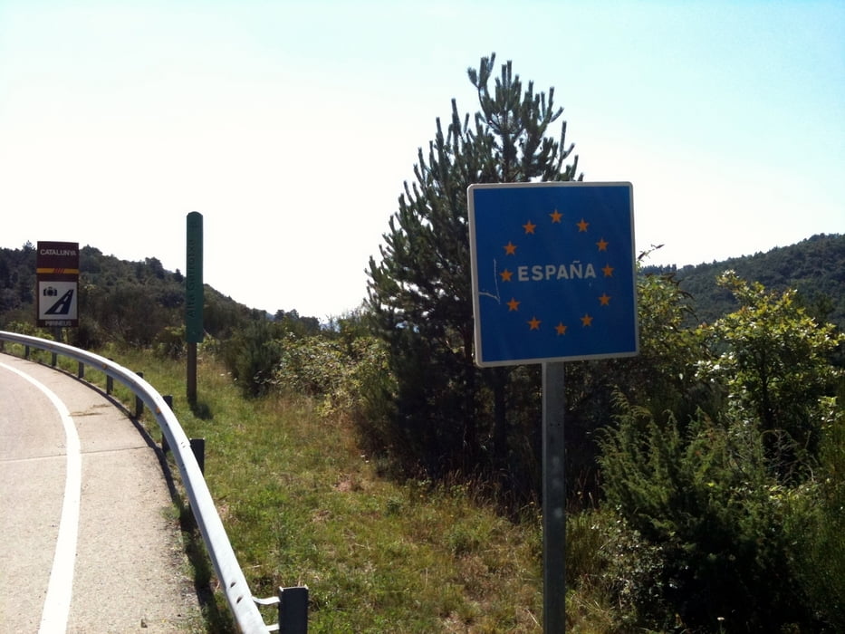
Then you cross the border to spain (don't believe the French: it's just the end of France, not the end of the world ;)). The road in spain is almost brand new but there is no more shade (keep that in mind when planning the tour)!! You follow the GI 503 until after Macanet de Cabrenys you take a left uphill towards La Vajol. This is the second (and last!) uphill, but it is much steeper than the first one and there is less shade. Just before La Vajol you pass a viewpoint with a small fountain "Font the Sant Silvestre" (there is a statue of Sant Silvestre with a mermaid nearby - I could not find out the story behind the fountain, maybe one of you knows it?). Enjoy the view and the cool water from the fountain, you will need the refreshment for the rest of the uphill to the border after La Vajol. At the top of the uphill you pass a monument and that's the point, wherer the road begins to be unpaved for a few hundred meters. If you came on a MTB be happy, if you came on a roadbike then walk until you hit the paved road again.
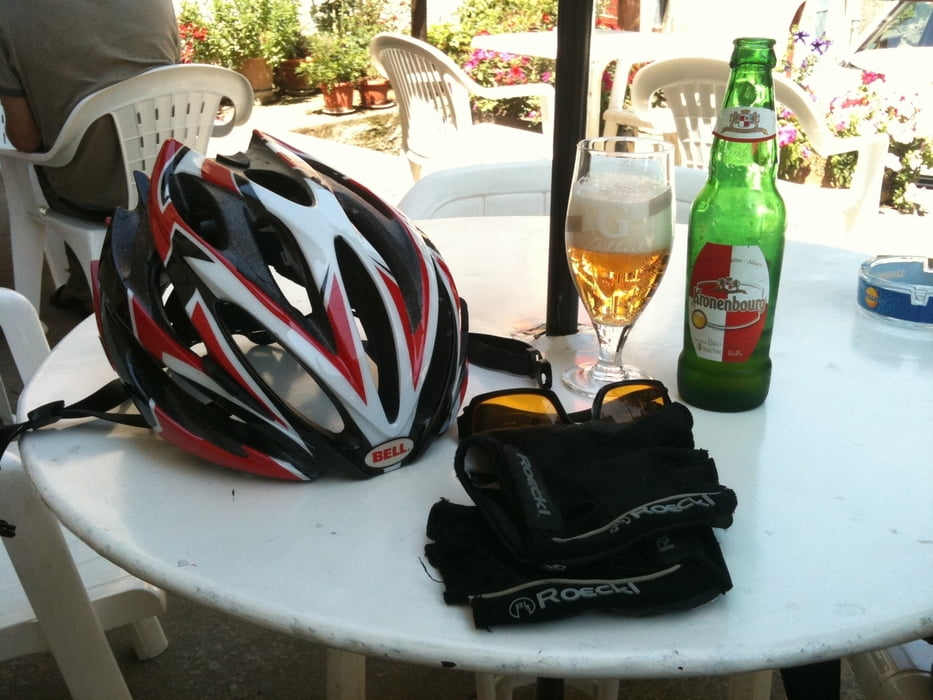
On the final downhill you pass "Las Illas", where (as I did) you can enjoy a cool drink at the Hostal dels Trabucayres before you start the definite downhill back to Ceret.
Further information at
http://www.dubaweb.de/radeltouren/pyrenaeen/pyrenaeen.htmlTour gallery


Tour map and elevation profile
Minimum height 99999 m
Maximum height -99999 m
More about the tour author

|
DonSegafredo |
Comments

Start in Ceret, near the 3 Bridges.
GPS tracks
Trackpoints-
GPX / Garmin Map Source (gpx) download
-
TCX / Garmin Training Center® (tcx) download
-
CRS / Garmin Training Center® (crs) download
-
Google Earth (kml) download
-
G7ToWin (g7t) download
-
TTQV (trk) download
-
Overlay (ovl) download
-
Fugawi (txt) download
-
Kompass (DAV) Track (tk) download
-
Track data sheet (pdf) download
-
Original file of the author (gpx) download
More about the tour author
|
|
DonSegafredo |
Add to my favorites
Remove from my favorites
Edit tags
Open track
My score
Rate