

Schwere Bike- und Hiketour um Damüls für Liebhaber schwerer Naturstrecken. mit ca. 25-40min Laufanteil. Ohne Liftbenützung plus 500hm - 45min mehr Dauer. Tour wegen der schwierigen Abfahrt nur bei trockenem Wetter machen (Flurschaden vermeiden und nur auf ausgeschildertem Weg fahren).
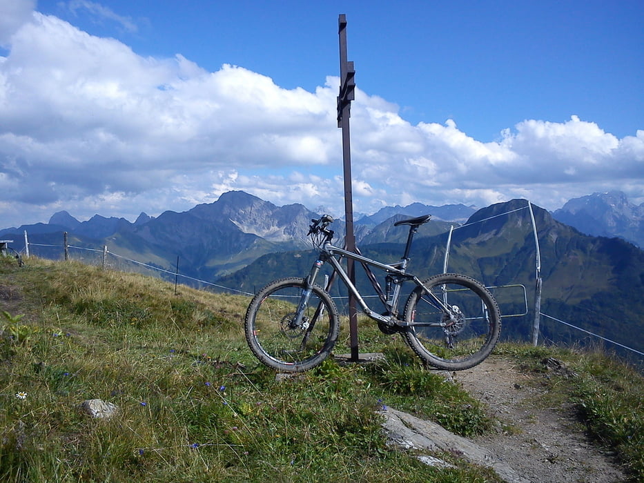
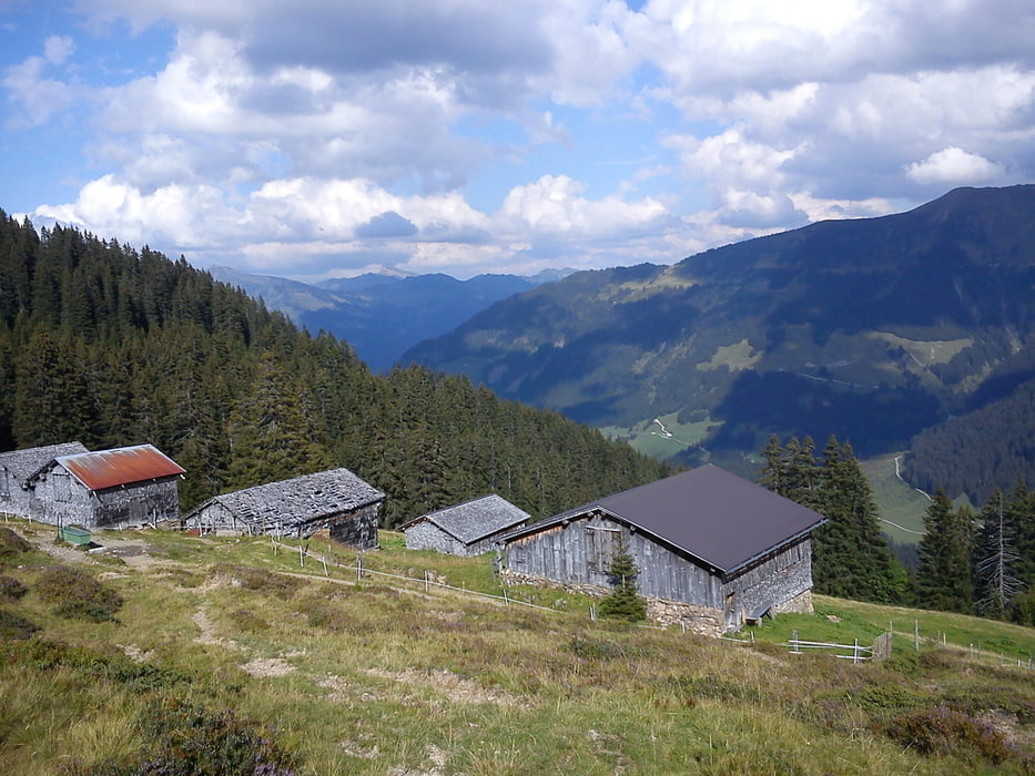
Die Tragepassage von der Bergstation Ugalift zum Elsenkopf (ca. 100hm - 20min) ist sehr steil und kein Spaß mit dem Rad (alternativ aussen rum - siehe Wanderungen) . Die Abfahrt ist anfangs S1. Bei der Brandalpe kurzes Laufstück wegen Viehschaden am Zaun entlang und 2Bäche. Danach schöne schwierige Waldtrailabfahrt (S2). Bei Kreuzung mit der Passstraße könnte man direkt nach Damüls zurückkurbeln. Ansonsten hinunter zum Fluß und noch eine kleine Hikepassage mit 5min zum Güterweg nach Damüls.
Tour gallery
Tour map and elevation profile
Minimum height 1211 m
Maximum height 1930 m
More about the tour author
|
|
skyhopper |
Comments

Damüls Ugalift liegt auf Strecke Schoppernau - Laterns vor Damüls rechts.
GPS tracks
Trackpoints-
GPX / Garmin Map Source (gpx) download
-
TCX / Garmin Training Center® (tcx) download
-
CRS / Garmin Training Center® (crs) download
-
Google Earth (kml) download
-
G7ToWin (g7t) download
-
TTQV (trk) download
-
Overlay (ovl) download
-
Fugawi (txt) download
-
Kompass (DAV) Track (tk) download
-
Track data sheet (pdf) download
-
Original file of the author (gpx) download
More about the tour author
|
|
skyhopper |
Add to my favorites
Remove from my favorites
Edit tags
Open track
My score
Rate