


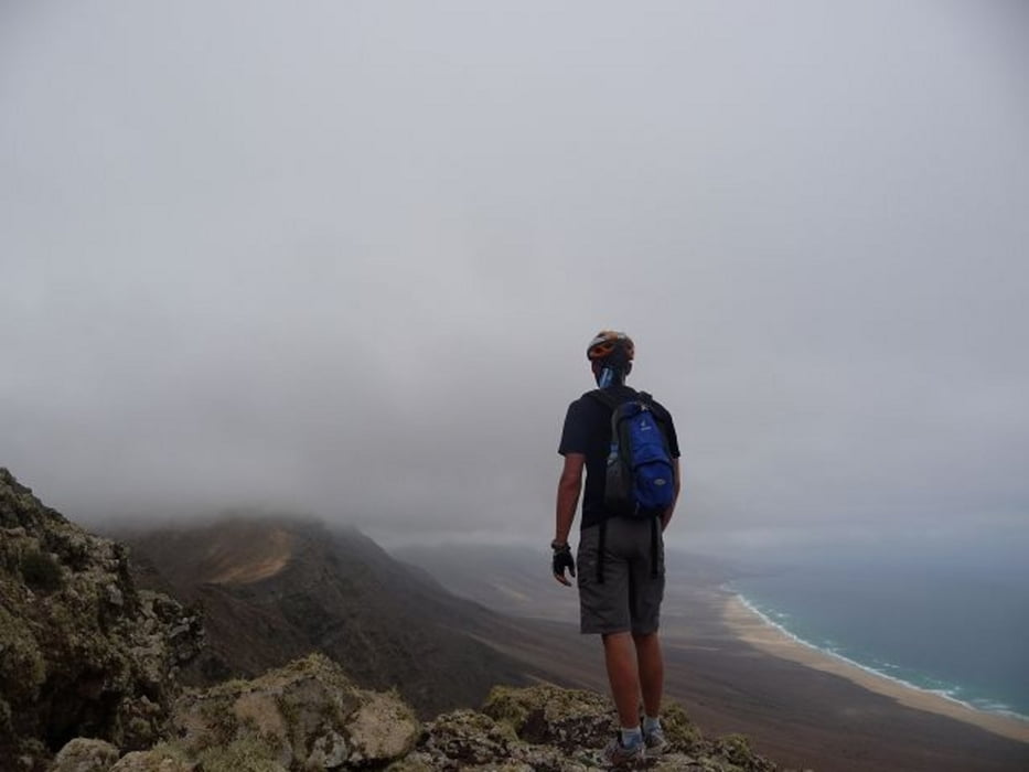
Lockere "bergauf-Tour" zum Assichtspunkt mit der Aussicht auf den Playa Barlovento de Jandia. Ich bin oben noch ein Stück bergauf gegangen, was aber irgendwann sinnlos war, da die Sicht nich sehr gut war. Die Wolken begannen dann auch auf dieser Höhe.
Bei bestem Wetter könnte man nach Gran Canaria gucken! Den Blick auf den höchsten Berg Fuertes hat man allerdings.
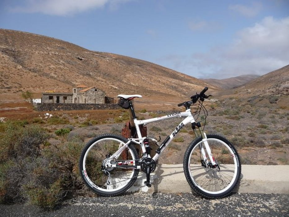
Die Anfahrt gestaltete sich etwas windig, was dort ja eigentlich immer selbstvertändlich ist. ;-)
Auf dem Rückweg ging es nochmal kurz zum Playa de Sotavento de Jandia.
Leihbikes gibt es übrigens bei Volcano Bike (Bringservice zum Hotel!), die haben auch gute Tips parat! (Gruß an Ralph!)
Tour gallery


Tour map and elevation profile
Minimum height -21 m
Maximum height 470 m
More about the tour author
|
|
buggi |
Comments

Die Tour startete vor dem R2 Pajara Beach Hotel, am südlichen Ende der Costa Calma.
GPS tracks
Trackpoints-
GPX / Garmin Map Source (gpx) download
-
TCX / Garmin Training Center® (tcx) download
-
CRS / Garmin Training Center® (crs) download
-
Google Earth (kml) download
-
G7ToWin (g7t) download
-
TTQV (trk) download
-
Overlay (ovl) download
-
Fugawi (txt) download
-
Kompass (DAV) Track (tk) download
-
Track data sheet (pdf) download
-
Original file of the author (tcx) download
More about the tour author
|
|
buggi |
Add to my favorites
Remove from my favorites
Edit tags
Open track
My score
Rate