Login

Forgot your login?

Cookies have to be accepted!
Your browser's cookie functionality is disabled. Please enable this functionality.

Not a member yet?

Register now
Login

Available for registred users only

Log in to use this feature.

Forgot your login?

Cookies have to be accepted!
Your browser's cookie functionality is disabled. Please enable this functionality.

Not a member yet?

Register now
Filter
Categories
Advanced filters
  • Distance (km)
  • Height
Save filters Reset filter

TrackRank

QRCode

Technical data

Distance17,7 km Height242 m Way down243 m Duration02:00 h:m Date15.08.2011
Scores Author Landscape Fun factor Fitness Technique

Statistics

1804 Views Scores 278 Downloads Average
Rate
  • Track data sheet
  • Directions
  • Downloads

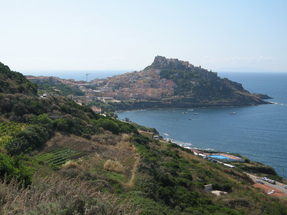
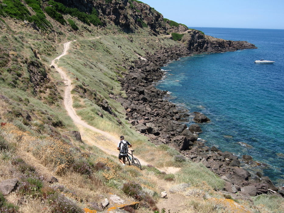
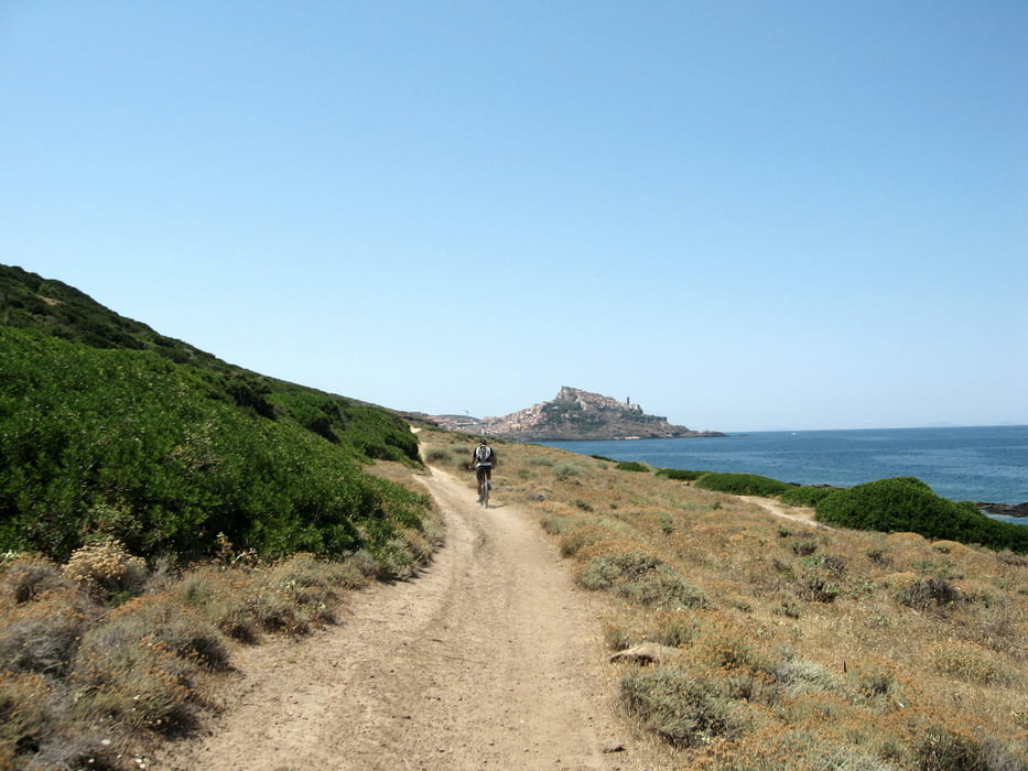
Schöne einfache Tour entlang der Küste auf einen Schotterweg nach Castelsardo. Es lohnt sich ein Besuch der Altstadt.

Zurück auf Asphalt nach Valledoria.

Tour gallery

Tour map and elevation profile

  • Open Street Map
  • Google
Minimum height 4 m Maximum height 185 m Detailed view

More about the tour author

Elias Laar
Member since 2006

Send private message

Comments

Beginn an der Küste bei Valledoria. ( Campinplatz )

GPS tracks

Trackpoints
  • GPX / Garmin Map Source (gpx) download
  • TCX / Garmin Training Center® (tcx) download
  • CRS / Garmin Training Center® (crs) download
  • Google Earth (kml) download
  • G7ToWin (g7t) download
  • TTQV (trk) download
  • Overlay (ovl) download
  • Fugawi (txt) download
  • Kompass (DAV) Track (tk) download
  • Track data sheet (pdf) download
  • Original file of the author (gpx) download

More about the tour author

Elias Laar
Member since 2006

Send private message
Share track
Add to my favorites
Remove from my favorites
Edit tags
My score
Rate
Track: Von Valledoria nach Castelsardo
Type: Mountain bike
Distance: 17,7 km
Evaluated on:
Duration:
Day(s)
Hour(s)
Minute(s)
Score: Landscape Fun factor Fitness Technique