Login

Forgot your login?

Cookies have to be accepted!
Your browser's cookie functionality is disabled. Please enable this functionality.

Not a member yet?

Register now
Login

Available for registred users only

Log in to use this feature.

Forgot your login?

Cookies have to be accepted!
Your browser's cookie functionality is disabled. Please enable this functionality.

Not a member yet?

Register now
Filter
Categories
Advanced filters
  • Distance (km)
  • Height
Save filters Reset filter

TrackRank

QRCode

Technical data

Distance35,1 km Height548 m Way down546 m Duration02:10 h:m Date17.08.2011
Scores Author Landscape Fun factor Fitness Technique

Statistics

518 Views Scores 75 Downloads Average
Rate
  • Track data sheet
  • Directions
  • Downloads

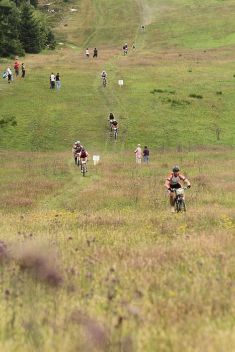
Start ist in Thalfang, überwiegend Forst- und Feldwege - zwischendurch ein paar schöne Trails. Vom Erbeskopf geht´s dann ab die Skipiste runter.

Leider sind manche Streckenabschnitte nur für den Marathon vom Forstamt freigegeben.

War ein tolles Event!

Nächstes Jahr kommen wir wieder!

Tour gallery

Tour map and elevation profile

  • Open Street Map
  • Google
Minimum height 422 m Maximum height 807 m Detailed view

More about the tour author

Radelmadel
Member since 2011

Send private message

Comments

GPS tracks

Trackpoints
  • GPX / Garmin Map Source (gpx) download
  • TCX / Garmin Training Center® (tcx) download
  • CRS / Garmin Training Center® (crs) download
  • Google Earth (kml) download
  • G7ToWin (g7t) download
  • TTQV (trk) download
  • Overlay (ovl) download
  • Fugawi (txt) download
  • Kompass (DAV) Track (tk) download
  • Track data sheet (pdf) download
  • Original file of the author (gpx) download

More about the tour author

Radelmadel
Member since 2011

Send private message
Share track
Add to my favorites
Remove from my favorites
Edit tags
My score
Rate
Track: Erbeskopfmarathon 37 km 2011
Type: Mountain bike
Distance: 35,1 km
Evaluated on:
Duration:
Day(s)
Hour(s)
Minute(s)
Score: Landscape Fun factor Fitness Technique