Login

Forgot your login?

Cookies have to be accepted!
Your browser's cookie functionality is disabled. Please enable this functionality.

Not a member yet?

Register now
Login

Available for registred users only

Log in to use this feature.

Forgot your login?

Cookies have to be accepted!
Your browser's cookie functionality is disabled. Please enable this functionality.

Not a member yet?

Register now
Filter
Categories
Advanced filters
  • Distance (km)
  • Height
Save filters Reset filter

TrackRank

QRCode

Technical data

Distance33,4 km Height484 m Way down398 m Duration02:00 h:m Date18.08.2011
Scores Author Landscape Fun factor Fitness Technique

Statistics

415 Views Scores 101 Downloads Average
Rate
  • Track data sheet
  • Directions
  • Downloads
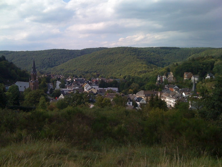
Eine Tour von Schleiden, über Olef, nach Vogelsang. Dann über die Urftseetalsperre nach Gemünd und dann über Broich wieder nach Schleiden. 516m Gesamtanstieg sind kein Zuckerschlecken, aber die Ausblicke auf die Eifel entschädigen mehr als genug.

Tour gallery

Tour map and elevation profile

  • Open Street Map
  • Google
Minimum height 379 m Maximum height 583 m Detailed view

More about the tour author

Waldy82
Member since 2011

Send private message

Comments

GPS tracks

Trackpoints
  • GPX / Garmin Map Source (gpx) download
  • TCX / Garmin Training Center® (tcx) download
  • CRS / Garmin Training Center® (crs) download
  • Google Earth (kml) download
  • G7ToWin (g7t) download
  • TTQV (trk) download
  • Overlay (ovl) download
  • Fugawi (txt) download
  • Kompass (DAV) Track (tk) download
  • Track data sheet (pdf) download
  • Original file of the author (gpx) download

More about the tour author

Waldy82
Member since 2011

Send private message
Share track
Add to my favorites
Remove from my favorites
Edit tags
My score
Rate
Track: Schneifeltour
Type: Mountain bike
Distance: 33,4 km
Evaluated on:
Duration:
Day(s)
Hour(s)
Minute(s)
Score: Landscape Fun factor Fitness Technique