Login

Forgot your login?

Cookies have to be accepted!
Your browser's cookie functionality is disabled. Please enable this functionality.

Not a member yet?

Register now
Login

Available for registred users only

Log in to use this feature.

Forgot your login?

Cookies have to be accepted!
Your browser's cookie functionality is disabled. Please enable this functionality.

Not a member yet?

Register now
Filter
Categories
Advanced filters
  • Distance (km)
  • Height
Save filters Reset filter

TrackRank

QRCode

Technical data

Distance70,6 km Height3071 m Way down3059 m Duration06:10 h:m Date18.08.2011
Scores Author User Landscape Fun factor Fitness Technique

Statistics

664 Views 2 Scores 180 Downloads 4.00 Average
Rate
  • Track data sheet
  • Directions
  • Downloads
Malcesine - Gondelbahn hoch zum Monte Baldo - Rif. Graziani - Malga Bes - S. Valentino - Corno Paura - Umrundung Vignola - Prada - Brentonico - Festa - Dos Remit - Abfahrt über 601 nach Navene; die Hm der Gondelbahn müssen natürlich abgezogen werden, reicht aber dann auch noch ;-))
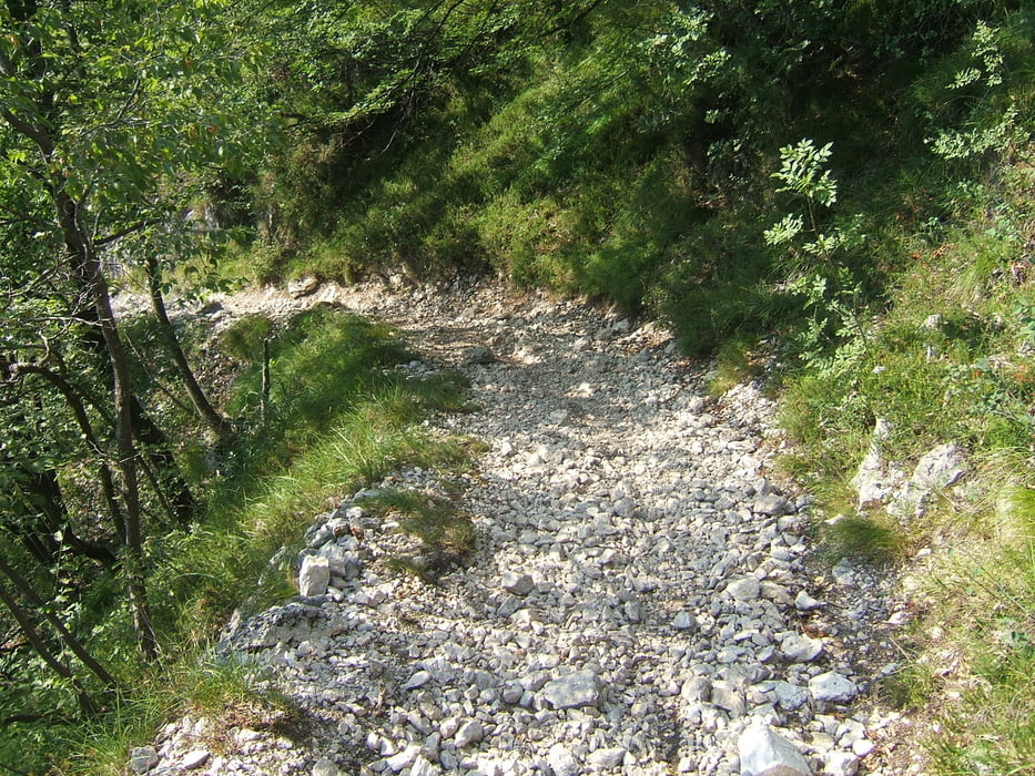
Tour gallery

Tour map and elevation profile

  • Open Street Map
  • Google
Minimum height 89 m Maximum height 1721 m Detailed view

More about the tour author

Roen2009
Member since 2010

Send private message

Comments

GPS tracks

Trackpoints
  • GPX / Garmin Map Source (gpx) download
  • TCX / Garmin Training Center® (tcx) download
  • CRS / Garmin Training Center® (crs) download
  • Google Earth (kml) download
  • G7ToWin (g7t) download
  • TTQV (trk) download
  • Overlay (ovl) download
  • Fugawi (txt) download
  • Kompass (DAV) Track (tk) download
  • Track data sheet (pdf) download
  • Original file of the author (gpx) download

More about the tour author

Roen2009
Member since 2010

Send private message
Share track
Add to my favorites
Remove from my favorites
Edit tags
My score
Rate
Track: Malcesine - Corno Paura - 601
Type: Mountain bike
Distance: 70,6 km
Evaluated on:
Duration:
Day(s)
Hour(s)
Minute(s)
Score: Landscape Fun factor Fitness Technique