


Nach dem brettebenen Wiener Becken schneiden wir das Hügelland um Mattersburg kurz an, um nach ein paar Kilometern entland der Leitha dorthin zu fahren, wo das Wiener Wasser herkommt: Der Region Rax/Schneeberg.
Entland der kristallklaren Schwarza gehts an der Rückseite des Schneebergs durchs Höllental bis zum höchsten Punkt nach Vois.
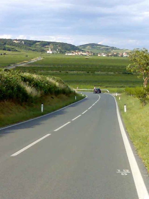
Entland des Kalten Gangs lock ein schönes, breites Tal, nach ein paar Kilometern machen wir uns aber nochmals auf ins Hügelland.
Die Landschaft belohnt die Mühen, und wer in der Thermenregion noch Ausdauer hackt, kann in Gumpoldskirchen beim Heurigen einkehren.
Entland der kristallklaren Schwarza gehts an der Rückseite des Schneebergs durchs Höllental bis zum höchsten Punkt nach Vois.
Entland des Kalten Gangs lock ein schönes, breites Tal, nach ein paar Kilometern machen wir uns aber nochmals auf ins Hügelland.
Die Landschaft belohnt die Mühen, und wer in der Thermenregion noch Ausdauer hackt, kann in Gumpoldskirchen beim Heurigen einkehren.
Further information at
http://www.schneeberg.tvTour gallery
Tour map and elevation profile
Minimum height 168 m
Maximum height 759 m
More about the tour author
|
|
texx |
Comments

Wien-Wienerberg
GPS tracks
Trackpoints-
GPX / Garmin Map Source (gpx) download
-
TCX / Garmin Training Center® (tcx) download
-
CRS / Garmin Training Center® (crs) download
-
Google Earth (kml) download
-
G7ToWin (g7t) download
-
TTQV (trk) download
-
Overlay (ovl) download
-
Fugawi (txt) download
-
Kompass (DAV) Track (tk) download
-
Track data sheet (pdf) download
-
Original file of the author (gpx) download
More about the tour author
|
|
texx |
Add to my favorites
Remove from my favorites
Edit tags
Open track
My score
Rate