

Von S'Charl (Unterengadin) aus geht ein schöner Forstweg über den den Pass da Costainas (2.251 m) in den Val Müstair.
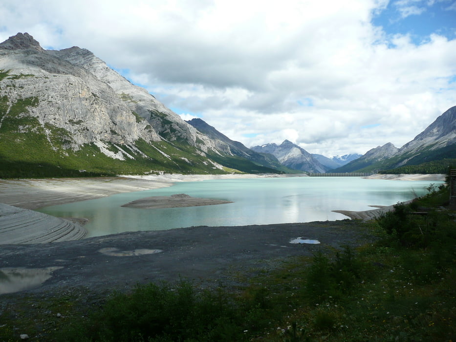
Entlang eines Flußes führt die Tour weiter durch das landschaftlich wundervolle Val Mora (sogar bei strömendem Regen eine traumhafte Landschaft und auch für "Normale" Mountainbiker sehr gut befahrbar). Die danach folgende Singeltrailachterbahn bietet neben herrlichen Aussichten einen guten Adrelalinkick und führt zum Livigno Stausee (1890 m). Hier endet die heutige Etappe.
Tour map and elevation profile
Minimum height 1557 m
Maximum height 2251 m
More about the tour author

|
tracki |
Comments

GPS tracks
Trackpoints-
GPX / Garmin Map Source (gpx) download
-
TCX / Garmin Training Center® (tcx) download
-
CRS / Garmin Training Center® (crs) download
-
Google Earth (kml) download
-
G7ToWin (g7t) download
-
TTQV (trk) download
-
Overlay (ovl) download
-
Fugawi (txt) download
-
Kompass (DAV) Track (tk) download
-
Track data sheet (pdf) download
-
Original file of the author (gpx) download
More about the tour author
|
|
tracki |
Add to my favorites
Remove from my favorites
Edit tags
Open track
My score
Rate