Login

Forgot your login?

Cookies have to be accepted!
Your browser's cookie functionality is disabled. Please enable this functionality.

Not a member yet?

Register now
Login

Available for registred users only

Log in to use this feature.

Forgot your login?

Cookies have to be accepted!
Your browser's cookie functionality is disabled. Please enable this functionality.

Not a member yet?

Register now
Filter
Categories
Advanced filters
  • Distance (km)
  • Height
Save filters Reset filter

TrackRank

QRCode

Technical data

Distance43,9 km Height1029 m Way down1020 m Duration00:00 h:m Date21.08.2011
Scores Author Landscape Fun factor Fitness Technique

Statistics

294 Views 2 Scores 77 Downloads 3.00 Average
Rate
  • Track data sheet
  • Directions
  • Downloads
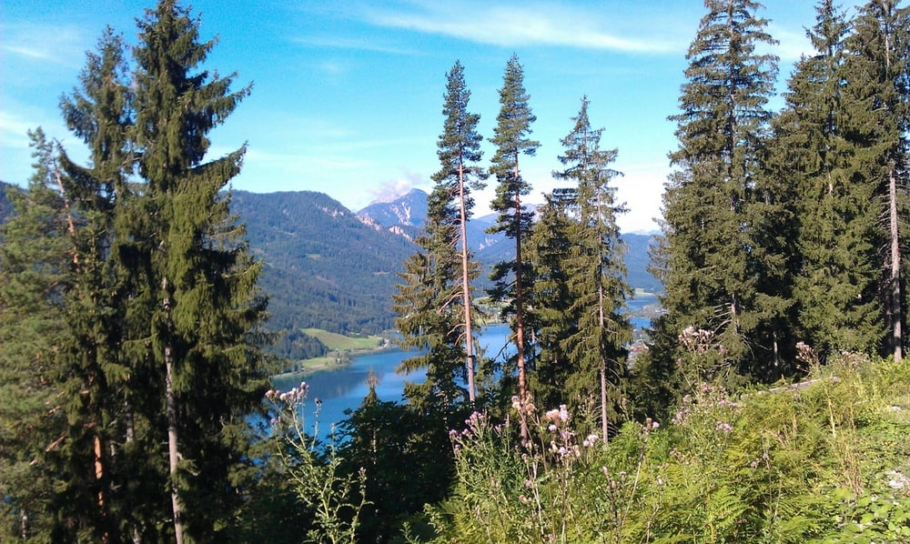
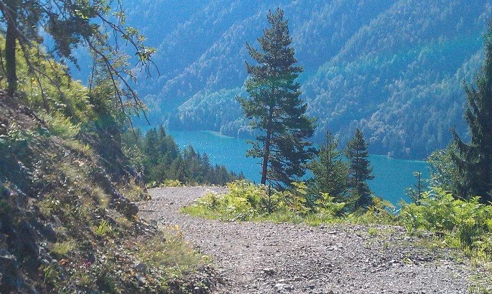
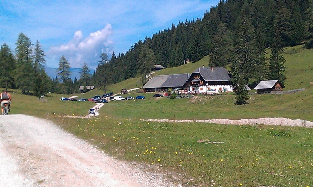
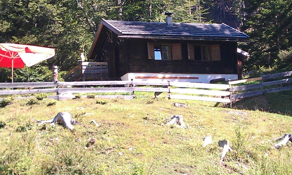
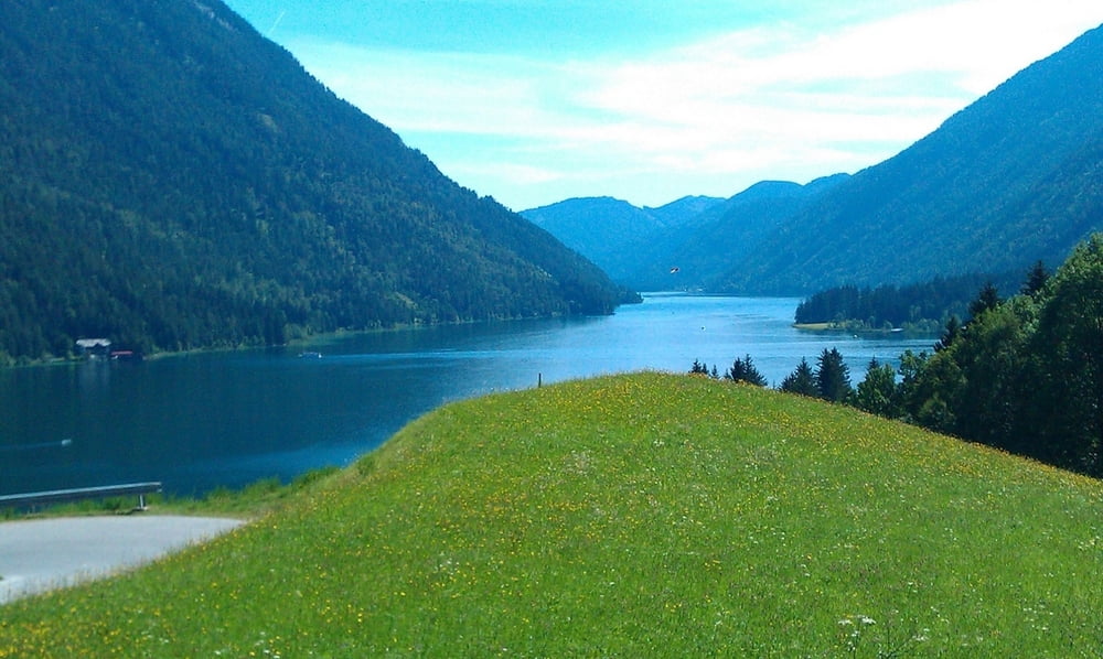
Schöne Tour um den Weissensee. Ausgangspunkt ist der Kreuzberg (Kreuzwirt). Am Nordufer fährt man den Berg hoch, und hat somit einen schönen Blick auf den See. Die Umrundung am Süufer führt über zwei leicht befahrbare Almen. Zum Schluss fährt man noch die sogenannte Wunderbaum-Strecke retour zum Kreuzberg.

Tour gallery

Tour map and elevation profile

  • Open Street Map
  • Google
Minimum height 897 m Maximum height 1233 m Detailed view

More about the tour author

keywan
Member since 2010

Send private message

Comments

GPS tracks

Trackpoints
  • GPX / Garmin Map Source (gpx) download
  • TCX / Garmin Training Center® (tcx) download
  • CRS / Garmin Training Center® (crs) download
  • Google Earth (kml) download
  • G7ToWin (g7t) download
  • TTQV (trk) download
  • Overlay (ovl) download
  • Fugawi (txt) download
  • Kompass (DAV) Track (tk) download
  • Track data sheet (pdf) download
  • Original file of the author (gpx) download

More about the tour author

keywan
Member since 2010

Send private message
Share track
Add to my favorites
Remove from my favorites
Edit tags
My score
Rate
Track: Um den Weissensee
Type: Mountain bike
Distance: 43,9 km
Evaluated on:
Duration:
Day(s)
Hour(s)
Minute(s)
Score: Landscape Fun factor Fitness Technique