
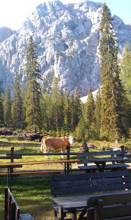

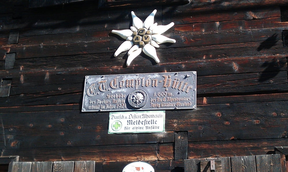
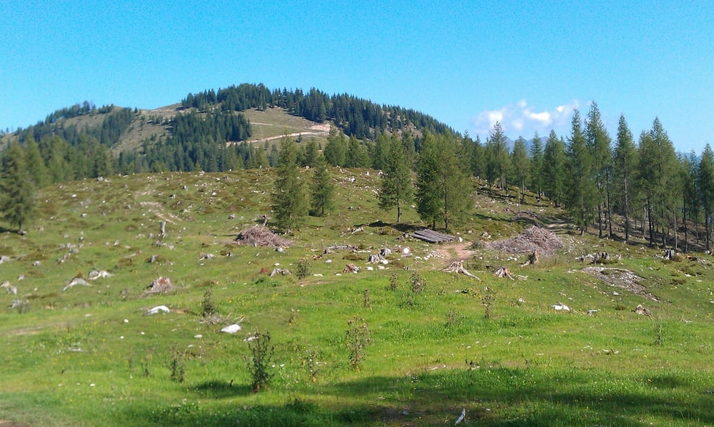
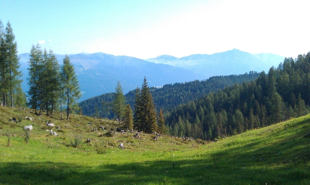
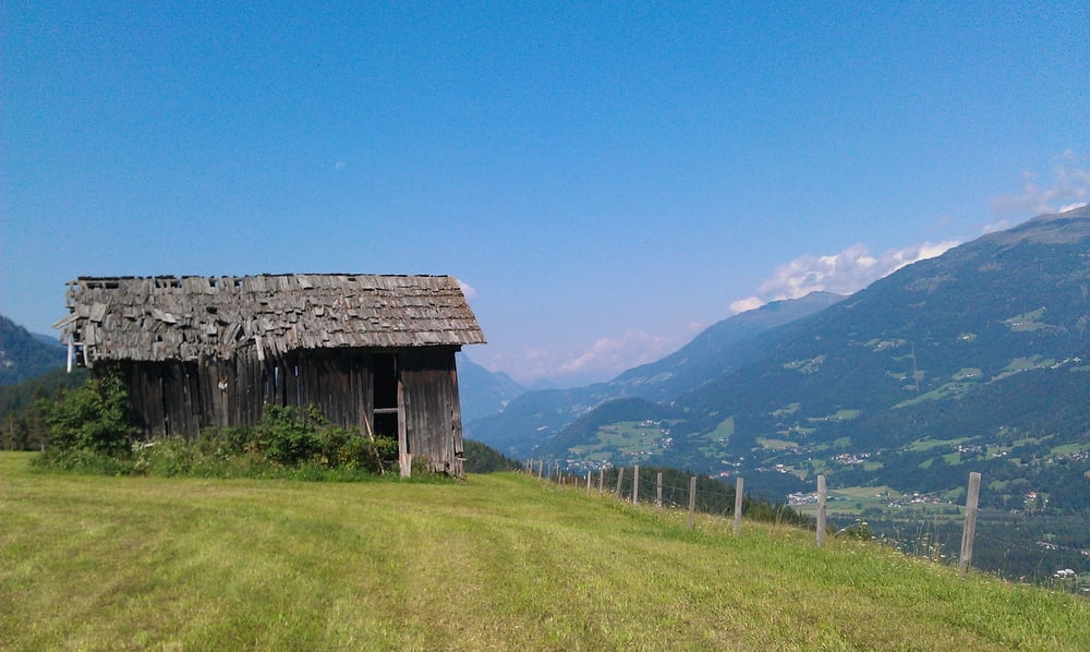
Diese Runde hat so ziemlich alles zu bieten. Tolle Abfahrten, lange Anstiege, atemberaubende Ausblicke, floating über Almen, etc.. Startpunkt ist der Kreuzberg, wo es zunächst etwas berauf und dann über eine tolle Abfahrt nach Weißbriach geht. Von dort führt eine alte Römerstrasse den Berg hoch. An mehreren Almen vorbei geht es zur Compton Hütte und dann weiter zum höchsten Punkt der Strecke: Pliess Alm. Bei der Compton Hütte rasten da die Pliess Alm zumeist nicht bewirtschaftet wird. Von der Pliess Alm genau dem GPS track (befahrbarer Wanderweg & Forststrassse) folgen. Achtung bei der "Querung" nach Egg verstellt ein grosser begraster Hügel die Forstrasse. Einfach mit dem Rad darüber steigen, und auf der anderen Seite dem Weg folgen. In Kalch bin ich mich kurz verfahren (ist aber am GPS track gut zu erkennen).
Tour gallery
Tour map and elevation profile
Minimum height 601 m
Maximum height 1632 m
More about the tour author
|
|
keywan |
Comments
GPS tracks
Trackpoints-
GPX / Garmin Map Source (gpx) download
-
TCX / Garmin Training Center® (tcx) download
-
CRS / Garmin Training Center® (crs) download
-
Google Earth (kml) download
-
G7ToWin (g7t) download
-
TTQV (trk) download
-
Overlay (ovl) download
-
Fugawi (txt) download
-
Kompass (DAV) Track (tk) download
-
Track data sheet (pdf) download
-
Original file of the author (gpx) download
More about the tour author
|
|
keywan |
Add to my favorites
Remove from my favorites
Edit tags
Open track
My score
Rate
Kreuzwirt