Login

Forgot your login?

Cookies have to be accepted!
Your browser's cookie functionality is disabled. Please enable this functionality.

Not a member yet?

Register now
Login

Available for registred users only

Log in to use this feature.

Forgot your login?

Cookies have to be accepted!
Your browser's cookie functionality is disabled. Please enable this functionality.

Not a member yet?

Register now
Filter
Categories
Advanced filters
  • Distance (km)
  • Height
Save filters Reset filter

TrackRank

QRCode

Technical data

Distance7,0 km Height234 m Way down386 m Duration02:00 h:m Date21.08.2011
Scores Author Landscape Fun factor Fitness Technique

Statistics

283 Views Scores 37 Downloads Average
Rate
  • Track data sheet
  • Directions
  • Downloads

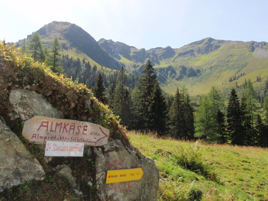
Kurze Tour für müde Kncohen entlang Luegergraben.

Einkehr in Faulbaumgartalm möglich (dazu noch kurz an beschilderter Stellen rechts abbiegen).

Tour map and elevation profile

  • Open Street Map
  • Google
Minimum height 1151 m Maximum height 1472 m Detailed view

More about the tour author

roxidura
Member since 2008

Send private message

Comments

Parkplatz am Ende der Straße

GPS tracks

Trackpoints
  • GPX / Garmin Map Source (gpx) download
  • TCX / Garmin Training Center® (tcx) download
  • CRS / Garmin Training Center® (crs) download
  • Google Earth (kml) download
  • G7ToWin (g7t) download
  • TTQV (trk) download
  • Overlay (ovl) download
  • Fugawi (txt) download
  • Kompass (DAV) Track (tk) download
  • Track data sheet (pdf) download
  • Original file of the author (gpx) download

More about the tour author

roxidura
Member since 2008

Send private message
Share track
Add to my favorites
Remove from my favorites
Edit tags
My score
Rate
Track: Leichte Rundtour entlang Luegergraben
Type: Hiking
Distance: 7,0 km
Evaluated on:
Duration:
Day(s)
Hour(s)
Minute(s)
Score: Landscape Fun factor Fitness Technique