


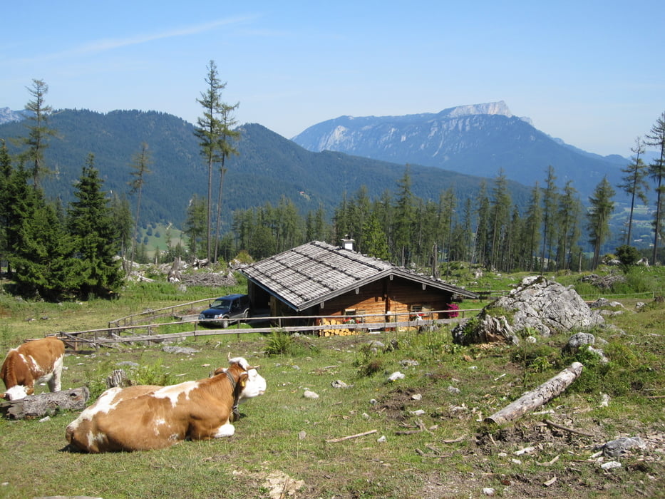
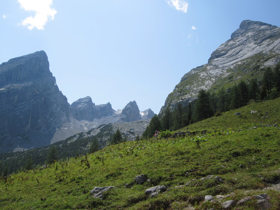
Wir parkten am Parkplatz der Wimbachklammbrücke, direkt an der Bundesstr. 305. Hier bekommt man auch in der Hochsaiaon bis ca. 10 Uhr noch einen Parkplatz. Dann durch die sehenswerte Klamm (Eintritt) , anschließend scharf links über die Holzbrücke zum Wanderweg 441. Steiler, aber guter Weg an der Stuben- und Mitterkaseralm vorbei. Dann wird es etwas beschwerlicher, aber immer noch gut zu gehen. Am Hochplateau unterhalb des Watzmannhauses fanden wir eine schöne Bank und entschlossen, nicht mehr zum Watzmannhaus zu gehen. Rundumsicht auf Watzmann und umliegende Berge einfach großartig, umwerfend schön! Rückweg wie Aufstieg, aber zum Schluß direkt zur Bundesstraße - die Klamm ist nicht in beiden Richtungen begehbar.
Tour gallery
Tour map and elevation profile
Minimum height 634 m
Maximum height 1636 m
More about the tour author
|
|
Ulli1962 |
Comments
GPS tracks
Trackpoints-
GPX / Garmin Map Source (gpx) download
-
TCX / Garmin Training Center® (tcx) download
-
CRS / Garmin Training Center® (crs) download
-
Google Earth (kml) download
-
G7ToWin (g7t) download
-
TTQV (trk) download
-
Overlay (ovl) download
-
Fugawi (txt) download
-
Kompass (DAV) Track (tk) download
-
Track data sheet (pdf) download
-
Original file of the author (gpx) download
More about the tour author
|
|
Ulli1962 |
Add to my favorites
Remove from my favorites
Edit tags
Open track
My score
Rate
Danke
Grß Stefan