

Itinerario molto semplice e gratificante, senza problemi di orientamento. Il percorso è molto bello e gradevole. Tutta la salita si svolge su strade prima asfaltate e da Buchach su fondo naturale. La discesa è molto bella e varia. Ottima gita.
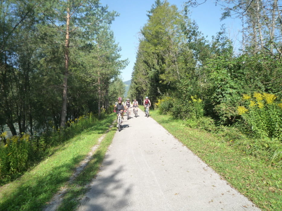
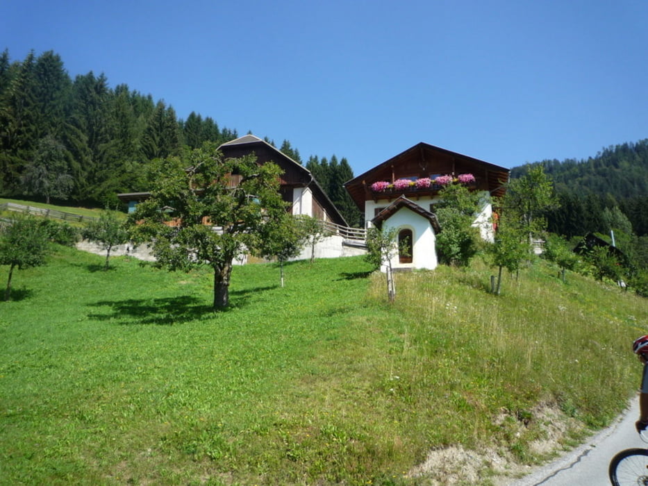
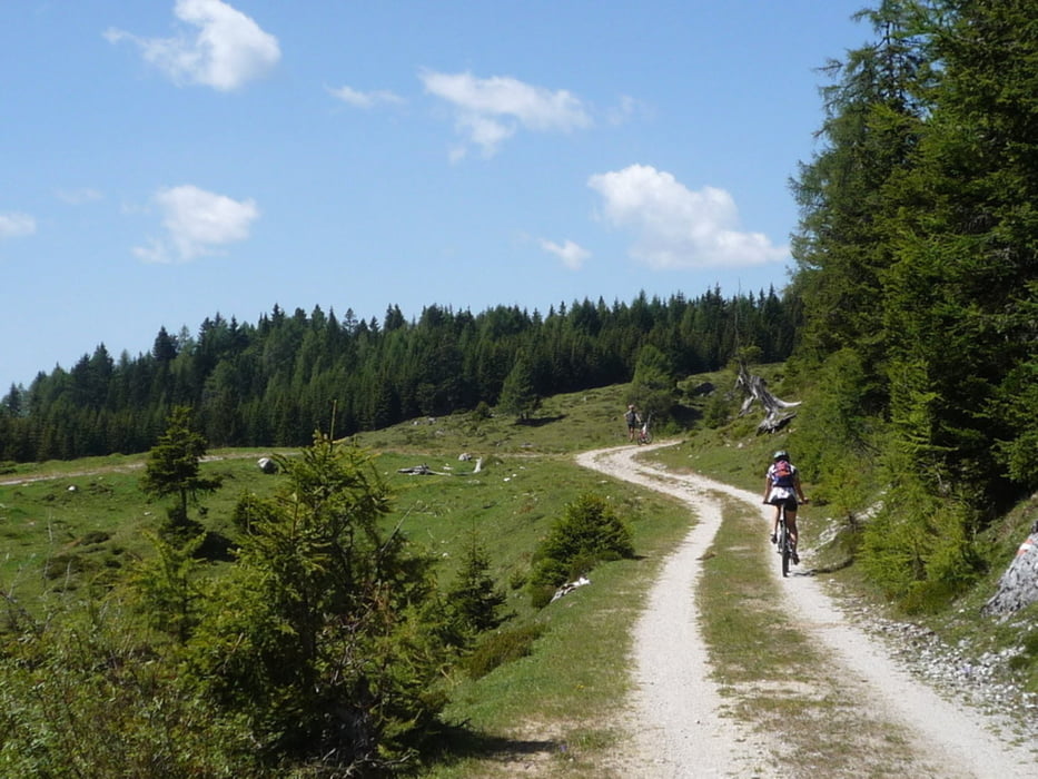
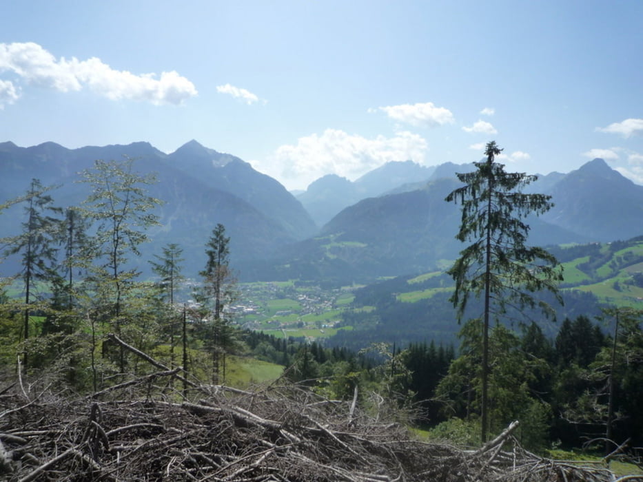
Tour gallery

Tour map and elevation profile
Minimum height 675 m
Maximum height 1678 m
More about the tour author
|
|
beccarol |
Comments

Arrivando da passo di Monte Croce si giunge a Mauthen, appena passato un ponte sulla destra si trova un bel ristorante e un parcheggio di una falegnameria. L’itinerario parte da qui. Il ristorante è un’ottimo appoggio all’arrivo per un’ottima birra e qualche sfiziosità austriaca.
GPS tracks
Trackpoints-
GPX / Garmin Map Source (gpx) download
-
TCX / Garmin Training Center® (tcx) download
-
CRS / Garmin Training Center® (crs) download
-
Google Earth (kml) download
-
G7ToWin (g7t) download
-
TTQV (trk) download
-
Overlay (ovl) download
-
Fugawi (txt) download
-
Kompass (DAV) Track (tk) download
-
Track data sheet (pdf) download
-
Original file of the author (gpx) download
More about the tour author
|
|
beccarol |
Add to my favorites
Remove from my favorites
Edit tags
Open track
My score
Rate