


Endlich Sommer!!
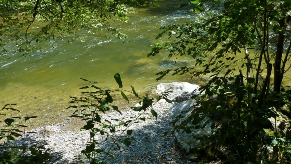
Wenn jetzt noch der Föhn dazukommt, geht das Thermometer schon ab 11 Uhr auf Werte hoch, die zwischendurch mal eine Erfrischung notwendig machen. Kein Problem zwischen Bodensee,div. Weihern und natürlich der Argen- die ist aber schon noch ein echter Kreislauftester mit ihren max 20°.
Ansonsten jede Tour hier diesseits und jenseits der bayrischen Grenze eine neue Überraschung!
Tour gallery

Tour map and elevation profile
Minimum height 469 m
Maximum height 555 m
More about the tour author
|
|
bavarese |
Comments

Heute Goppersweiler beim Argenzusammenfluss, 10 km von Wangen im Allgäu> Primisweiler>Pflegelberg.
GPS tracks
Trackpoints-
GPX / Garmin Map Source (gpx) download
-
TCX / Garmin Training Center® (tcx) download
-
CRS / Garmin Training Center® (crs) download
-
Google Earth (kml) download
-
G7ToWin (g7t) download
-
TTQV (trk) download
-
Overlay (ovl) download
-
Fugawi (txt) download
-
Kompass (DAV) Track (tk) download
-
Track data sheet (pdf) download
-
Original file of the author (gpx) download
More about the tour author
|
|
bavarese |
Add to my favorites
Remove from my favorites
Edit tags
Open track
My score
Rate