Login

Forgot your login?

Cookies have to be accepted!
Your browser's cookie functionality is disabled. Please enable this functionality.

Not a member yet?

Register now
Login

Available for registred users only

Log in to use this feature.

Forgot your login?

Cookies have to be accepted!
Your browser's cookie functionality is disabled. Please enable this functionality.

Not a member yet?

Register now
Filter
Categories
Advanced filters
  • Distance (km)
  • Height
Save filters Reset filter

TrackRank

QRCode

Technical data

Distance39,2 km Height524 m Way down535 m Duration02:45 h:m Date28.08.2011
Scores Author Landscape Fun factor Fitness Technique

Statistics

3120 Views Scores 579 Downloads Average
Rate
  • Track data sheet
  • Directions
  • Downloads
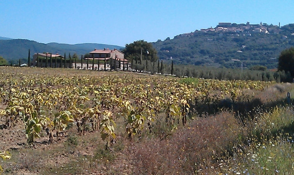
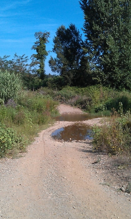
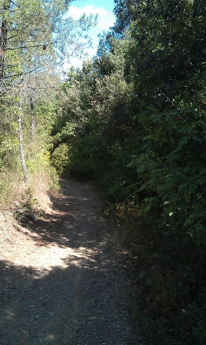
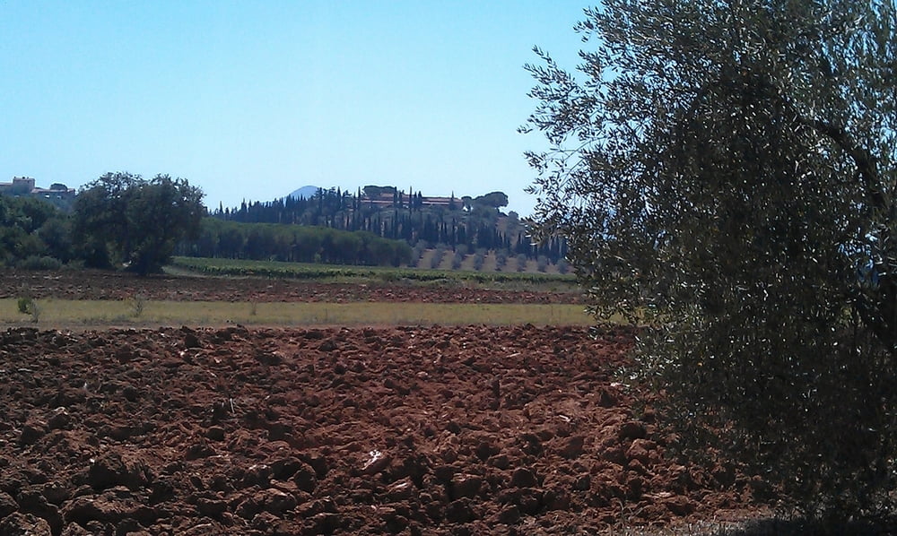
MTB-Tour über Feldwege, sehr wenig befahrenen Strassen und Trails. Dabei gibt es eine im August 2011 unproblematische Furtdurchquerung.

Tour gallery

Tour map and elevation profile

  • Open Street Map
  • Google
Minimum height 9 m Maximum height 316 m Detailed view

More about the tour author

JV
Member since 2006

Send private message

Comments

Start und Ziel ist die Fattoria Cirene bei Follonica

GPS tracks

Trackpoints
  • GPX / Garmin Map Source (gpx) download
  • TCX / Garmin Training Center® (tcx) download
  • CRS / Garmin Training Center® (crs) download
  • Google Earth (kml) download
  • G7ToWin (g7t) download
  • TTQV (trk) download
  • Overlay (ovl) download
  • Fugawi (txt) download
  • Kompass (DAV) Track (tk) download
  • Track data sheet (pdf) download
  • Original file of the author (gpx) download

More about the tour author

JV
Member since 2006

Send private message
Share track
Add to my favorites
Remove from my favorites
Edit tags
My score
Rate
Track: Follonica - Massa Marittima
Type: Mountain bike
Distance: 39,2 km
Evaluated on:
Duration:
Day(s)
Hour(s)
Minute(s)
Score: Landscape Fun factor Fitness Technique