Login

Forgot your login?

Cookies have to be accepted!
Your browser's cookie functionality is disabled. Please enable this functionality.

Not a member yet?

Register now
Login

Available for registred users only

Log in to use this feature.

Forgot your login?

Cookies have to be accepted!
Your browser's cookie functionality is disabled. Please enable this functionality.

Not a member yet?

Register now
Filter
Categories
Advanced filters
  • Distance (km)
  • Height
Save filters Reset filter

TrackRank

QRCode

Technical data

Distance30,1 km Height718 m Way down718 m Duration02:45 h:m Date28.08.2011
Scores Author User Landscape Fun factor Fitness Technique

Statistics

1088 Views 2 Scores 286 Downloads 3.00 Average
Rate
  • Track data sheet
  • Directions
  • Downloads

Einrollen über Strasse bis Scarlino.

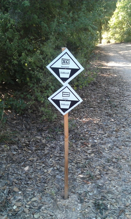
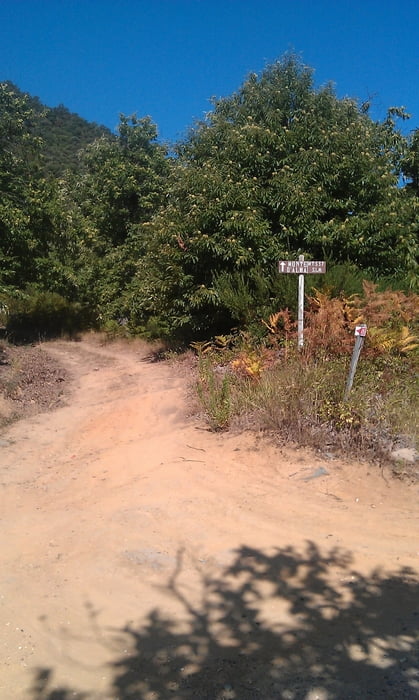
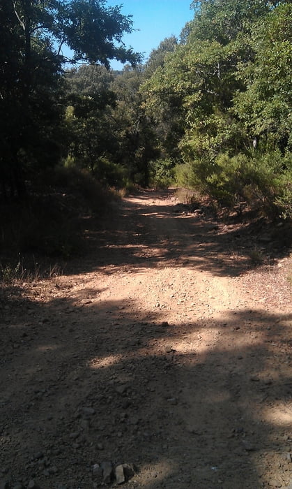
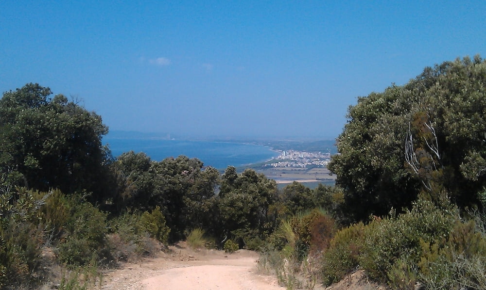
Über zum Teil steile und zerfruchte Wege um Monte D'Alma, über Bucca della Neve wieder nach Follonica (Podere de la Cirene).

Tour gallery

Tour map and elevation profile

  • Open Street Map
  • Google
Minimum height 2 m Maximum height 477 m Detailed view

More about the tour author

JV
Member since 2006

Send private message

Comments

GPS tracks

Trackpoints
  • GPX / Garmin Map Source (gpx) download
  • TCX / Garmin Training Center® (tcx) download
  • CRS / Garmin Training Center® (crs) download
  • Google Earth (kml) download
  • G7ToWin (g7t) download
  • TTQV (trk) download
  • Overlay (ovl) download
  • Fugawi (txt) download
  • Kompass (DAV) Track (tk) download
  • Track data sheet (pdf) download
  • Original file of the author (gpx) download

More about the tour author

JV
Member since 2006

Send private message
Share track
Add to my favorites
Remove from my favorites
Edit tags
My score
Rate
Track: Scarlino-3
Type: Mountain bike
Distance: 30,1 km
Evaluated on:
Duration:
Day(s)
Hour(s)
Minute(s)
Score: Landscape Fun factor Fitness Technique