Login

Forgot your login?

Cookies have to be accepted!
Your browser's cookie functionality is disabled. Please enable this functionality.

Not a member yet?

Register now
Login

Available for registred users only

Log in to use this feature.

Forgot your login?

Cookies have to be accepted!
Your browser's cookie functionality is disabled. Please enable this functionality.

Not a member yet?

Register now
Filter
Categories
Advanced filters
  • Distance (km)
  • Height
Save filters Reset filter

TrackRank

QRCode

Technical data

Distance26,0 km Height595 m Way down604 m Duration02:15 h:m Date28.08.2011
Scores Author User Landscape Fun factor Fitness Technique

Statistics

2036 Views 1 Score 560 Downloads 4.00 Average
Rate
  • Track data sheet
  • Directions
  • Downloads
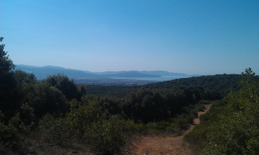
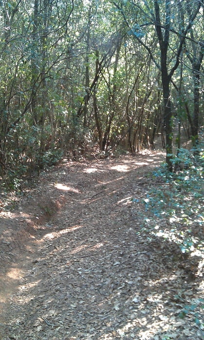
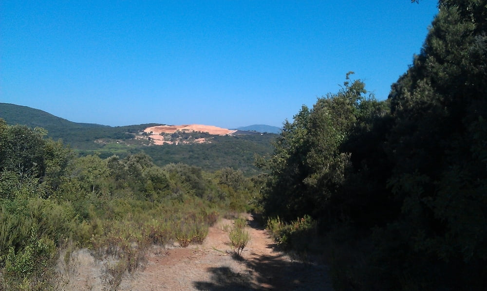
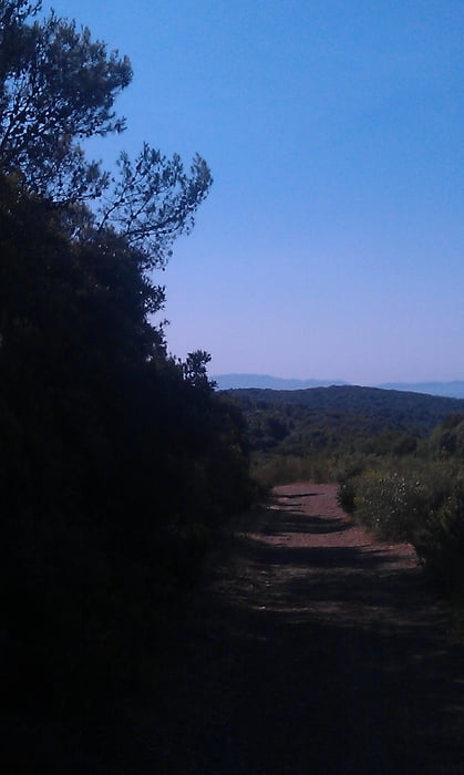
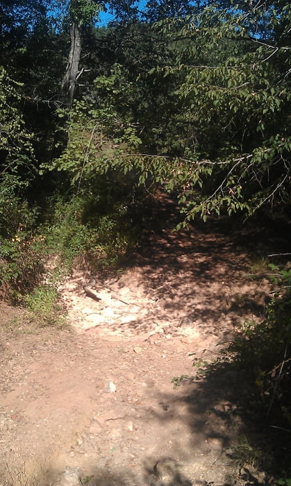
Zu Beginn fährt man im Park auf breiten Forstwegen, die aber schnell in schmale, zersetzte Wege führen. Ein paar kurze Schiebestrecken sind zu bewältigen. Dafür erhält man sehr schöne Trails und schöne Aussichten.

Tour gallery

Tour map and elevation profile

  • Open Street Map
  • Google
Minimum height -3 m Maximum height 245 m Detailed view

More about the tour author

JV
Member since 2006

Send private message

Comments

v_p on 08.07.2013

Super schöne Tour!

Super schöne Tour! Schon der Trail hinauf ist schön, aber der Singletrail hinunter lässt jeden Flowtrail-Liebhaber jauchzen. Danke JV.
Rammre on 13.08.2013

1.8.2013

Schöne Tour. Bin schon vor Follonica gestartet und daher noch zusätzliche HM und KM geradelt.

GPS tracks

Trackpoints
  • GPX / Garmin Map Source (gpx) download
  • TCX / Garmin Training Center® (tcx) download
  • CRS / Garmin Training Center® (crs) download
  • Google Earth (kml) download
  • G7ToWin (g7t) download
  • TTQV (trk) download
  • Overlay (ovl) download
  • Fugawi (txt) download
  • Kompass (DAV) Track (tk) download
  • Track data sheet (pdf) download
  • Original file of the author (gpx) download

More about the tour author

JV
Member since 2006

Send private message
Share track
Add to my favorites
Remove from my favorites
Edit tags
My score
Rate
Track: Montioni-Trails
Type: Mountain bike
Distance: 26,0 km
Evaluated on:
Duration:
Day(s)
Hour(s)
Minute(s)
Score: Landscape Fun factor Fitness Technique